Weather
Winter storm exists, brief cold wave now follows
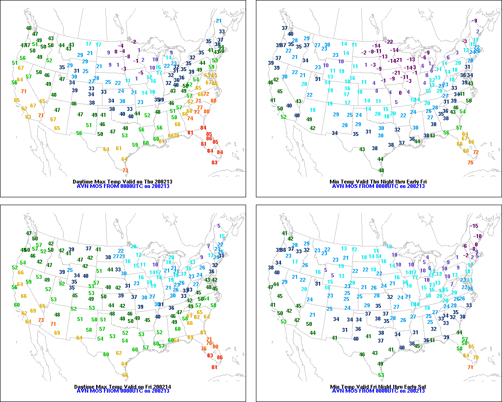
Across the Corn Belt, frigid, breezy conditions across the upper Midwest are resulting in low wind chill temperatures and an increase in livestock stress. Readings below -20° were reported in eastern North Dakota and northern Minnesota, while temperatures dipped below 0° as far south as northern Missouri. Elsewhere, light snow is falling across much of the eastern Corn Belt, accompanied by blustery conditions and falling temperatures.
On the Plains, very cold, mostly dry weather prevails. A few patches of light snow are confined to the northern and central High Plains. Thursday morning’s low temperatures fell to near 0° as far south as northeastern Kansas and plunged below -20° in the Red River Valley of the North.
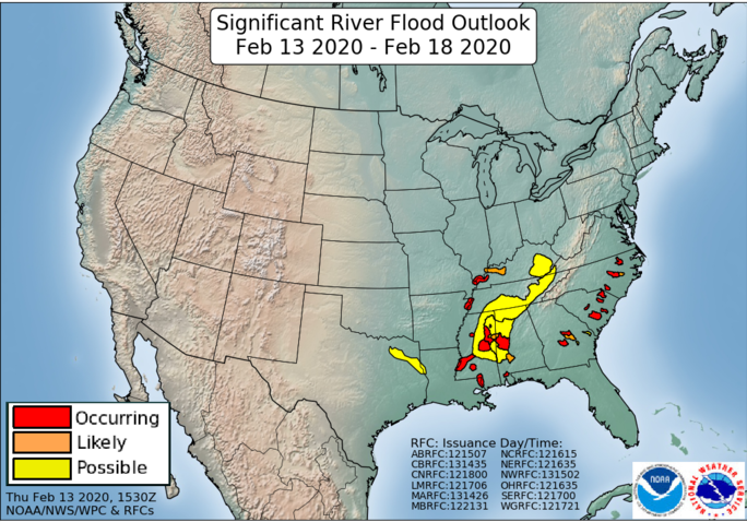
In the South, showers and thunderstorms stretch from the Appalachians southward to the Gulf Coast. Although rain has ended from the Mississippi Delta westward, extensive lowland flooding continues across a broad area. Minor to moderate flooding is being reported at well over 100 river gauges from northeastern Texas into the Tennessee and lower Mississippi Valleys. Flooding also persists in parts of the southern Atlantic coastal plain, following last week’s downpours.
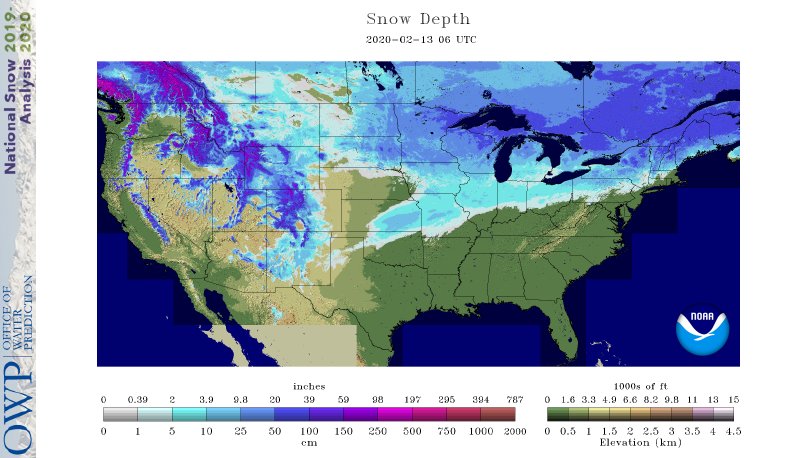
In the West, warmth continues across much of California and has expanded to cover the Great Basin and parts of the interior Northwest. Chilly conditions linger, however, across the central and southern Rockies, following recent snowfall. In the Sierra Nevada, however, accumulating snow has not fallen in nearly a month, leaving the high-elevation snowpack less than 60% of the mid-February average.
Add Comment