Weather
Unseasonably mild to warm, largely dry weather expands across the Heartland
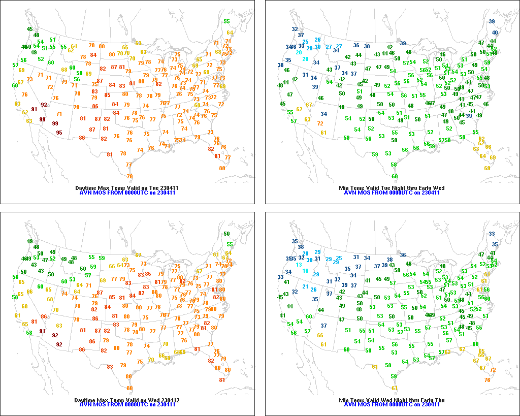
Across the Corn Belt, mild, mostly dry weather prevails. Tuesday’s high temperatures will generally range from 65 to 75°F, except in snow-covered sections of the far upper Midwest. Midwestern fieldwork remains limited, except in drier areas of the western Corn Belt. For example, 8% of Nebraska’s intended oat acreage had been planted by April 2, while oat planting had not yet begun on that date in Minnesota, Wisconsin, and the Dakotas.
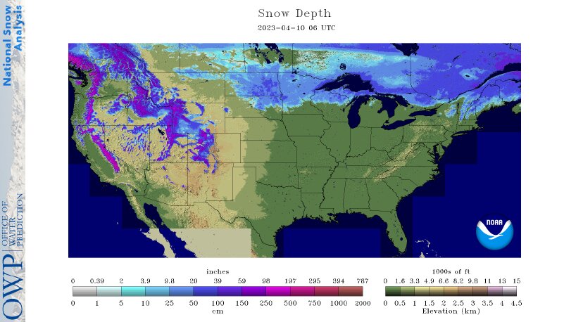
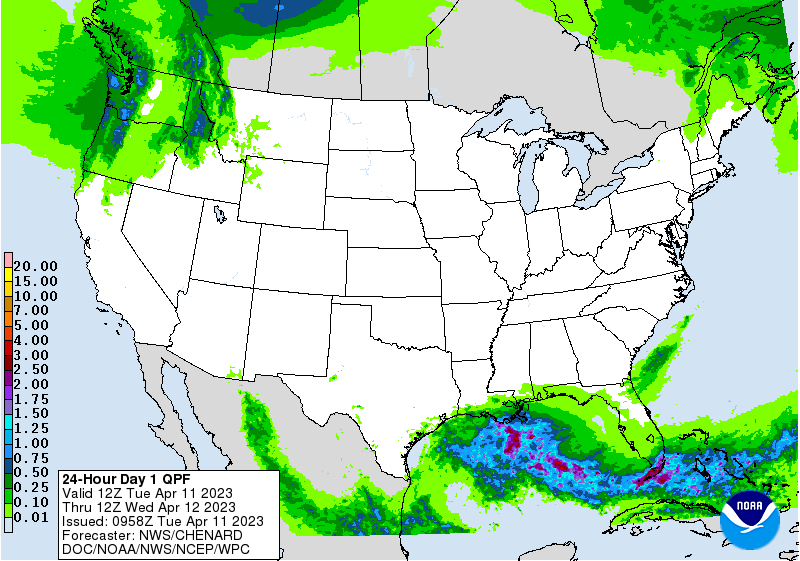
On the Plains, widely scattered showers are occurring across southern portions of the region, with only a few locations noting meaningful drought relief. Meanwhile in snow-covered sections of the northern Plains, warmer weather is starting to melt ice and snow that in some places has been on the ground for 5 months. Tuesday’s high temperatures will reach 75°F or higher as far north as Montana.
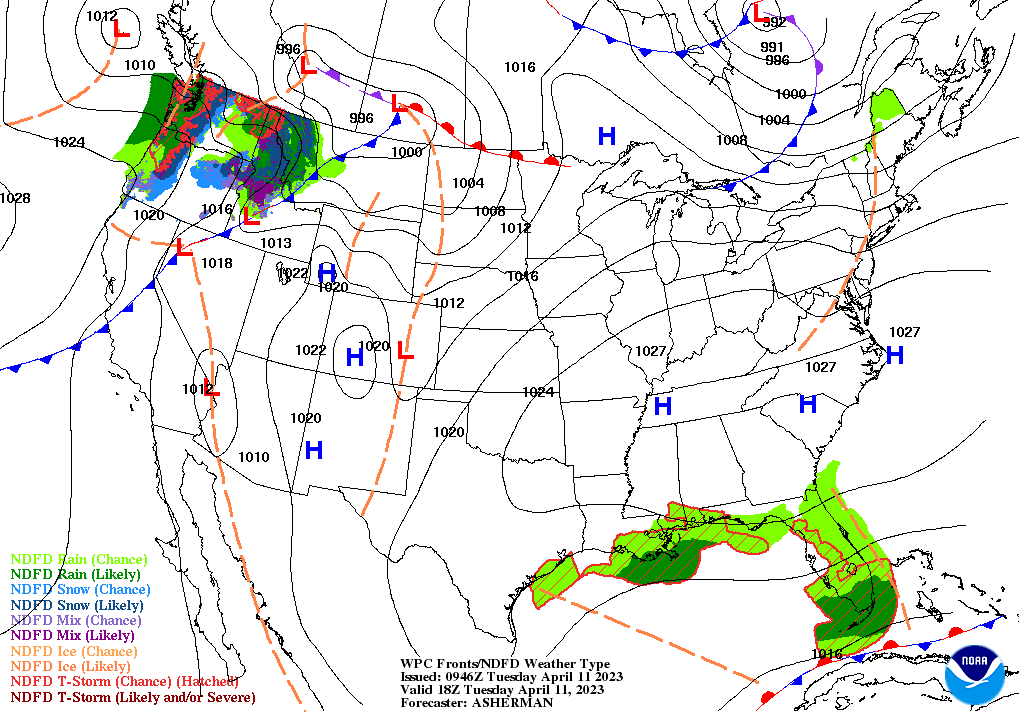
In the South, any lingering showers are generally confined to Florida’s peninsula. Other areas of the South are experiencing dry weather, following widespread, locally heavy rain late last week into the weekend. Freeze Warnings were in effect early Tuesday in the middle Atlantic States, extending as far south as North Carolina.
In the West, warmer weather is leading to significant melting of lower- and middle-elevation snowpack and corresponding river rises. In the Northwest, precipitation is contributing to runoff potential. Elsewhere, the season’s first significant heat wave is underway in the Desert Southwest, where some low-elevation sites will reach 95°F or higher later Tuesday.
Add Comment