Weather
Beneficial moisture developing on the central Plains; still mild across much of the Corn Belt
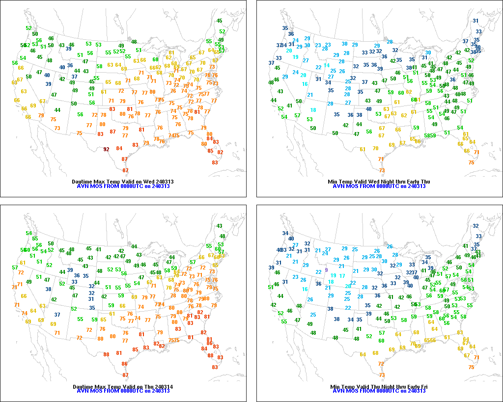
Across the Corn Belt, temperatures remain at record-high levels for this time of year. Later Wednesday, high temperatures should reach 80°F as far north as the middle Mississippi Valley, with nearly the entire Corn Belt expected to top 60°F. With spring arriving early this year, dryness is becoming more apparent across the upper Midwest.
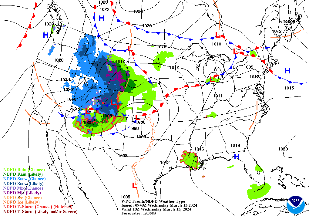
On the Plains, rain showers are developing across western Nebraska and neighboring areas. The remainder of the region is experiencing dry weather. An extremely critical wildfire threat exists Wednesday across portions of the Texas Panhandle and western Oklahoma, where ingredients include warm, windy weather, low humidity levels, and extensive fuel loading.
In the South, warm, dry weather is promoting fieldwork, pasture growth, and winter grain development. In Texas, 10% of the winter wheat had headed, statewide, by March 10. Much of the South has recovered from last year’s punishing combination of heat and drought, which adversely affected rangeland, pastures, and a variety of summer crops.
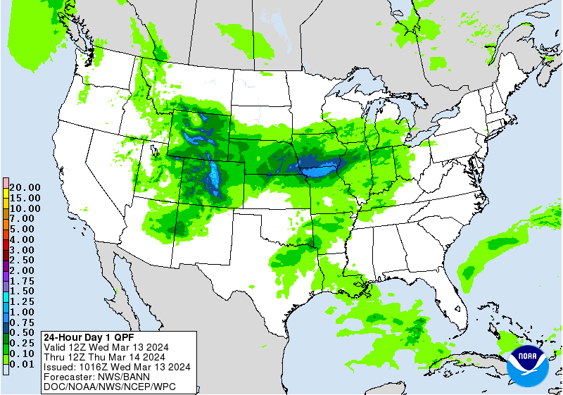
In the West, cool but mostly dry weather has returned across the Great Basin and the Pacific Coast States. Meanwhile, patchy snow is developing across the northern and central Rockies and environs, signaling the arrival of a late-season winter storm. Snow-water equivalencies currently range from 60 to 80% of the mid-March average across the northern tier of the western U.S., including much of Montana, Washington, northern Idaho, and northeastern Wyoming.
Add Comment