Weather
Another early-spring storm to impact the Heartland

Across the Corn Belt, rain associated with a storm system crossing the southern Plains is quickly overspreading the middle Mississippi and lower Missouri Valleys. Dry weather covers the remainder of the Midwest, except for some light snow in the upper Great Lakes region. Mild weather in the Ohio Valley contrasts with cool conditions in the upper Midwest.
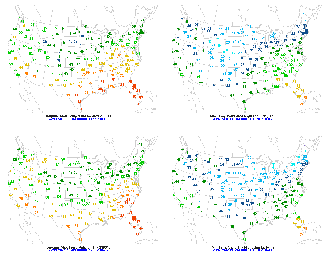
On the Plains, weather and travel conditions are deteriorating early Wednesday across the Oklahoma panhandle and adjoining areas in Colorado, Kansas, New Mexico, and Texas, due to windy weather, falling temperatures, and rain changing to snow. Farther north, snow remains on the ground from last weekend’s storm on the central High Plains, extending eastward across South Dakota and northern Nebraska. In part due to the recent boost in soil moisture, winter wheat condition in Kansas improved during the week ending March 14, from 27 to 22% very poor to poor.
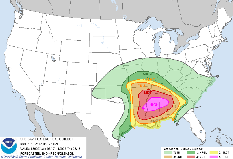
In the South, locally severe thunderstorms are sweeping across areas west of the Mississippi Delta. In southern Texas, however, gusty winds, low humidity levels, and ample drought- and freeze-cured vegetation are resulting in an elevated wildfire threat. Elsewhere, warm, dry weather in Florida contrasts with cool, cloudy conditions from Georgia northward.
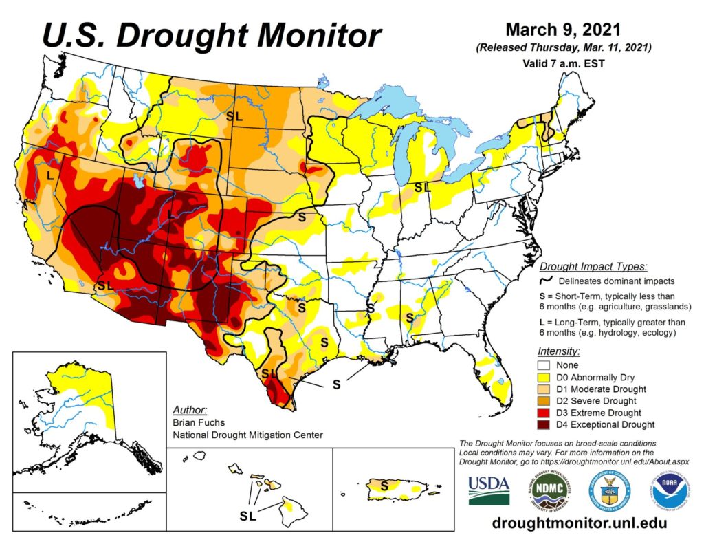
In the West, dry weather prevails between storms. One weather system has departed the central and southern Rockies, while a new storm is approaching the northern Pacific Coast. Despite recent precipitation, much of the nation’s southwestern quadrant remains in drought and faces poor spring runoff prospects, potentially leading to insufficient reservoir recharge and water-supply shortages.
Add Comment