Weather
A welcome lull in stormy weather across the Heartland; recovery from snow, ice underway
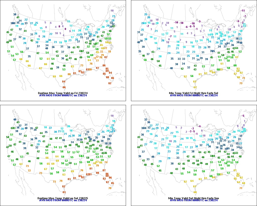
Across the Corn Belt, sub-0°F temperatures cover the upper Midwest early Friday, following recent snowfall. In fact, several readings below -20°F were reported in Minnesota and the Dakotas. Meanwhile in the lower Great Lakes region, clean-up efforts continue in areas hit by recent accumulations of freezing rain, which resulted in downed trees and widespread power outages, especially in southern Michigan.
On the Plains, a late-season cold wave is peaking early Friday, with temperatures falling below -20°F in parts of Montana, eastern Wyoming, and the Dakotas. In the coldest areas, winter wheat has a protective snow cover, although livestock producers are still contending with challenging conditions in the wake of the recent storm system. Cold air blankets the remainder of the Plains, although sub-0°F temperatures extend only as far south as northeastern Colorado.
In the South, lingering warmth prevails in advance of an approaching cold front. Friday’s high temperatures will reach 80°F or higher across the lower Southeast, including Florida. In contrast, markedly cooler air is overspreading the mid-South. Hard freezes (28°F or below) were reported Friday morning on the Ozark Plateau.
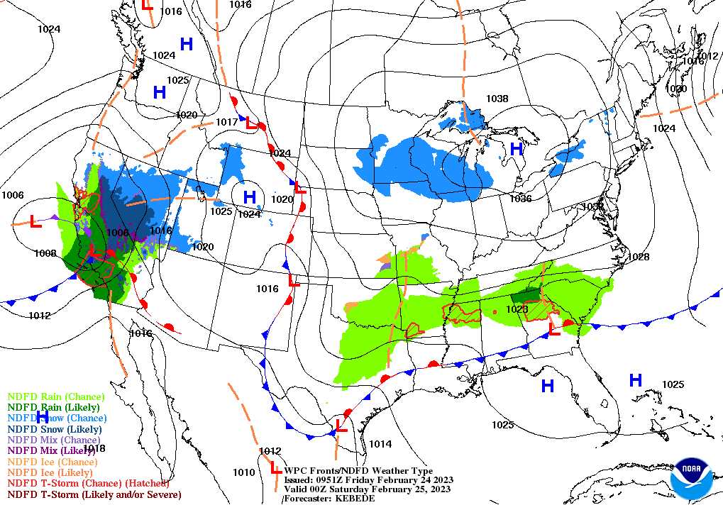
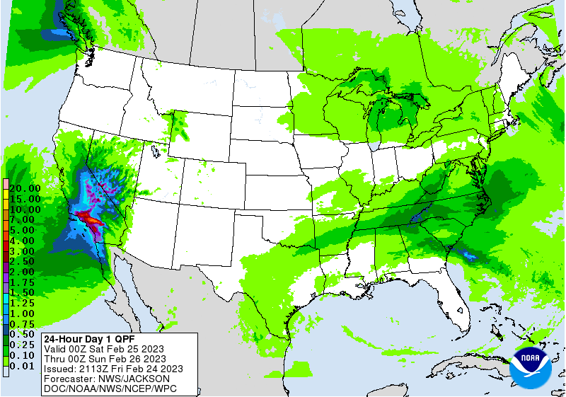
In the West, cool, windy, wintry weather lingers across much of California, with Blizzard Warnings in effect for the mountains north of Los Angeles and the southern Sierra Nevada. Snow is falling early Friday in uncommonly low elevations across California, including Redding (in the northern Sacramento Valley). Elsewhere, snow showers and breezy conditions extend inland across the Four Corners States, while cold, dry weather prevails in the Northwest.
Add Comment