Weather
A more active pattern to round-out the year

A storm system currently crossing the Southwest will reach the central Plains on Saturday and traverse the Midwest on Sunday and Monday.
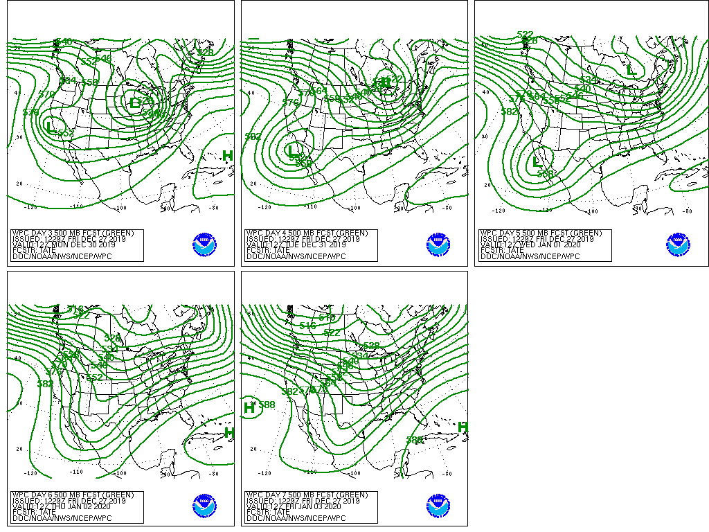
Subsequently, the system will stall over the Great Lakes region before finally shifting eastward across the Canadian Maritimes by the middle of next week.

Snow associated with the storm will fall across a vast area, starting in the mountains of the Southwest and later stretching from central portions of the Rockies and High Plains into the upper Midwest. During the early to middle part of next week, wintry precipitation will spread across parts of the Great Lakes and Northeastern States.
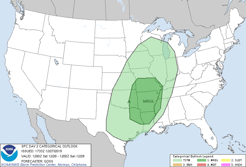
Meanwhile, the potential for a weekend severe weather outbreak exists across the South. Storm-total precipitation could reach 1 to 2 inches or more across much of the central and eastern U.S., except along the southern Atlantic Coast. Elsewhere, precipitation will return across the Pacific Coast States late in the weekend and early next week.
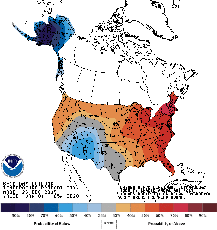
Looking ahead, the 6- to 10-day outlook calls for the likelihood of near- or above-normal temperatures and precipitation across most of the country.
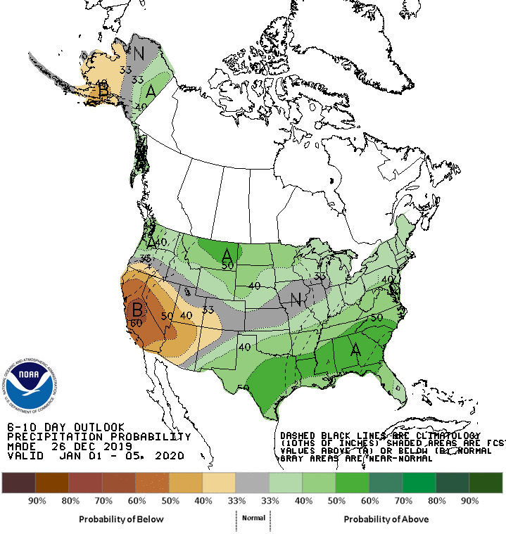
Colder-than-normal conditions will be confined to the Southwest, while drier-than-normal weather should be limited to California, the Great Basin, and parts of the Southwest.
Add Comment