Weather
A late-winter look, feel on parts of the Plains; seasonally chilly to cool across the Corn Belt
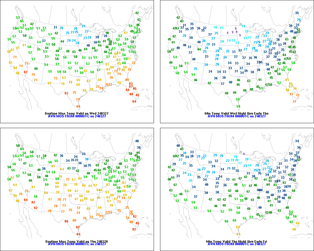
Across the Corn Belt, snow showers are confined to the upper Great Lakes region. Elsewhere, breezy, dry weather prevails. Snow remains on the ground in some of the previously driest areas of the upper Midwest, with that snow expected to boost topsoil moisture as it melts. Wednesday’s Midwestern high temperatures should range from near 25°F in the far upper Midwest to 55°F along the Ohio River.

On the Plains, chilly conditions prevail in the wake of recent storminess. A variable snow cover exists across the northern half of the Plains, providing winter wheat with some insulation from temperatures that generally ranged from 0 to 20°F. A few sub-zero readings were noted Wednesday morning in the Dakotas, while freezes were observed as far south as the Texas Panhandle. In Kansas, 7% of the winter wheat was jointing by March 24, along with 36% of the crop in Oklahoma.
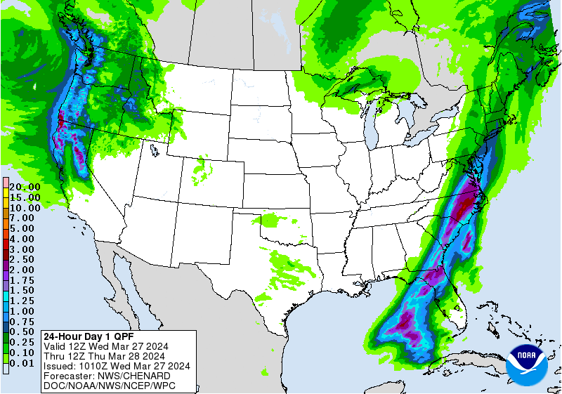
In the South, scattered showers stretch from Virginia to northern Florida. Elsewhere, dry weather favors fieldwork, including planting activities as conditions permit in the wake of recent rainfall. By March 24 in Texas, 46% of the intended corn acreage had been planted, along with 37% of the sorghum and 20% of the rice.
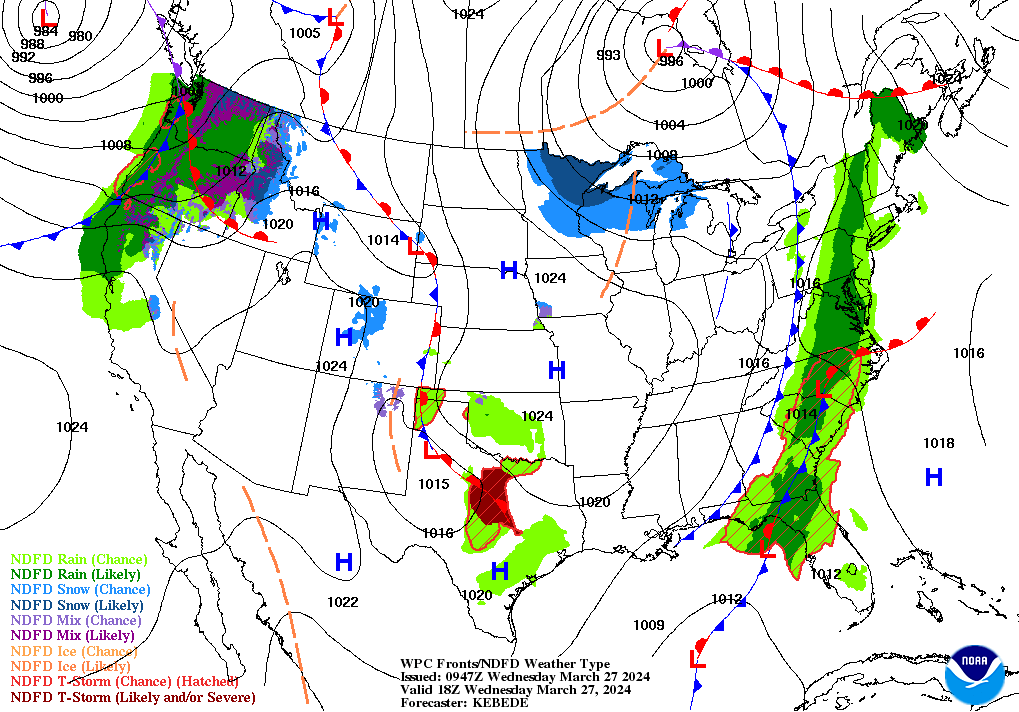
In the West, any lingering snow showers are generally confined to the Rockies. Meanwhile, temperatures are slowly rebounding to near-normal temperatures in advance of Pacific storminess. The leading edge of the stormy weather is quickly approaching the Pacific Northwest, with showers moving ashore.
Add Comment