Weather
Wide-ranging temps, moisture for the Heartland
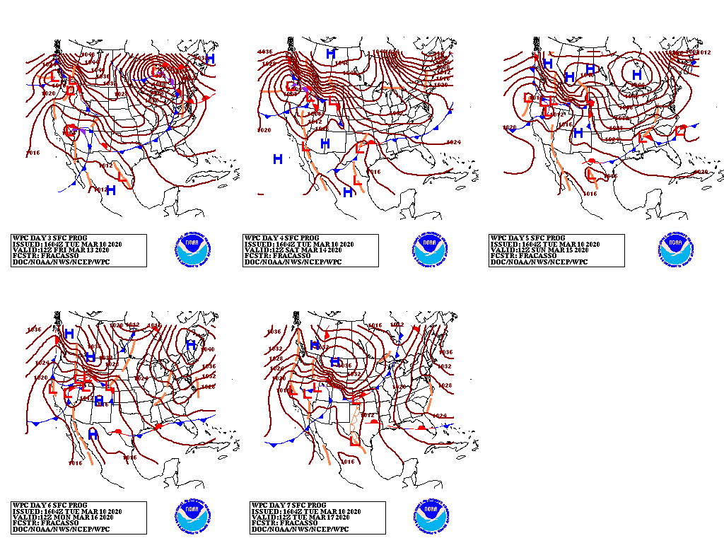
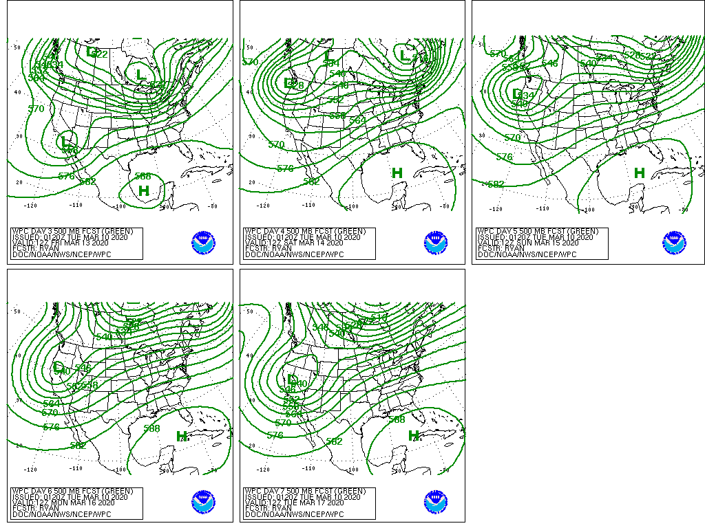
A high-pressure system currently over Alaska will move southeastward, reaching the northern High Plains during the weekend.
Markedly colder air will accompany the high-pressure system’s arrival, preceded by rain and snow showers. Colder air will also settle across the Northwest.
As the weather pattern begins to change, beneficial precipitation may develop across northern California and the Great Basin.
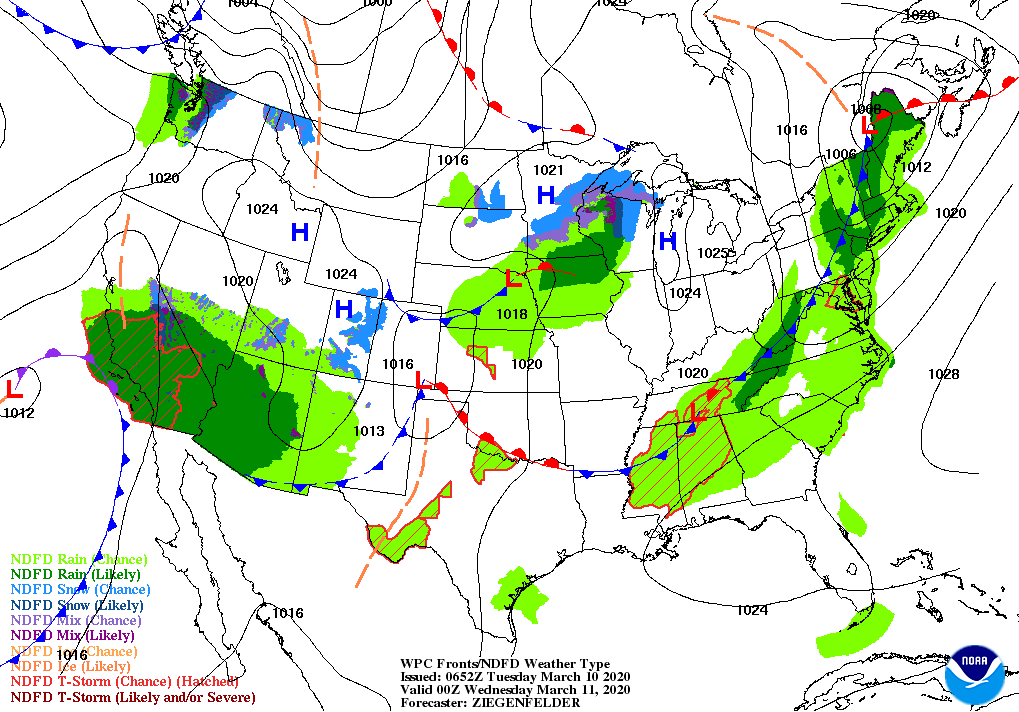
Meanwhile, a slow-moving storm system currently affecting southern California and the Desert Southwest will drift eastward.

As a result, 5-day precipitation totals could reach 1 to 3 inches or more from southern California to the interior Southeast. At times, rain may spread as far north as the central Plains and much of the Midwest.
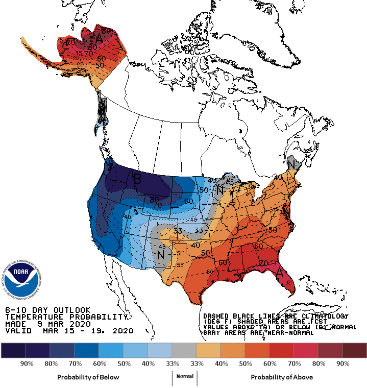
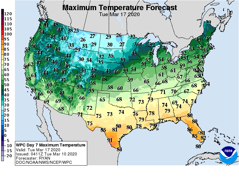
Looking ahead, the 6- to 10-day outlook calls for the likelihood of above-normal temperatures in most areas from the southern Plains to the Atlantic Seaboard, while colder-than-normal conditions will cover the northern Plains, upper Midwest, and the West.
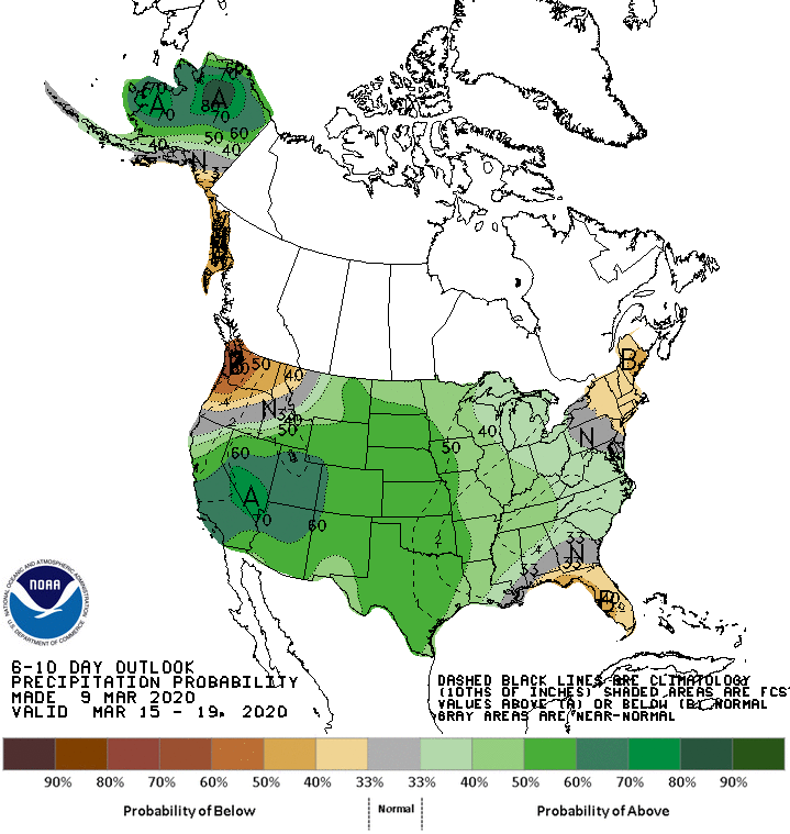
Meanwhile, above-normal precipitation across most of the country should contrast with drier-than-normal weather in Florida, New England, and the Pacific Northwest.
Add Comment