Weather
Weather varies greatly across the Heartland
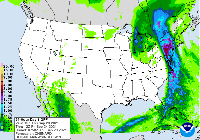
Across the Corn Belt, a Frost Advisory was in effect early Thursday across portions of the upper Great Lakes region. Meanwhile, fieldwork remains at a standstill due to an ongoing rain event in much of the eastern Corn Belt, where Thursday’s high temperatures will range from 50 to 65°F. In the western Corn Belt, mild, dry weather favors a resumption of fieldwork, following recent rainfall. On September 19, Minnesota and North Dakota were tied for the Midwestern lead in soybean harvesting, with both states reporting 11 percent of the crop had been cut.
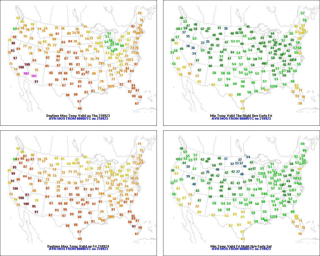
On the Plains, warm, dry weather is promoting summer crop maturation and harvesting, as well as winter wheat planting. However, some producers are opting to wait for rain before planting wheat, rather than “dusting in” the crop. In Oklahoma, where short-term dryness is prevalent, only 15% of the intended winter wheat acreage had been planted by September 19, versus the 5-year average of 16%.
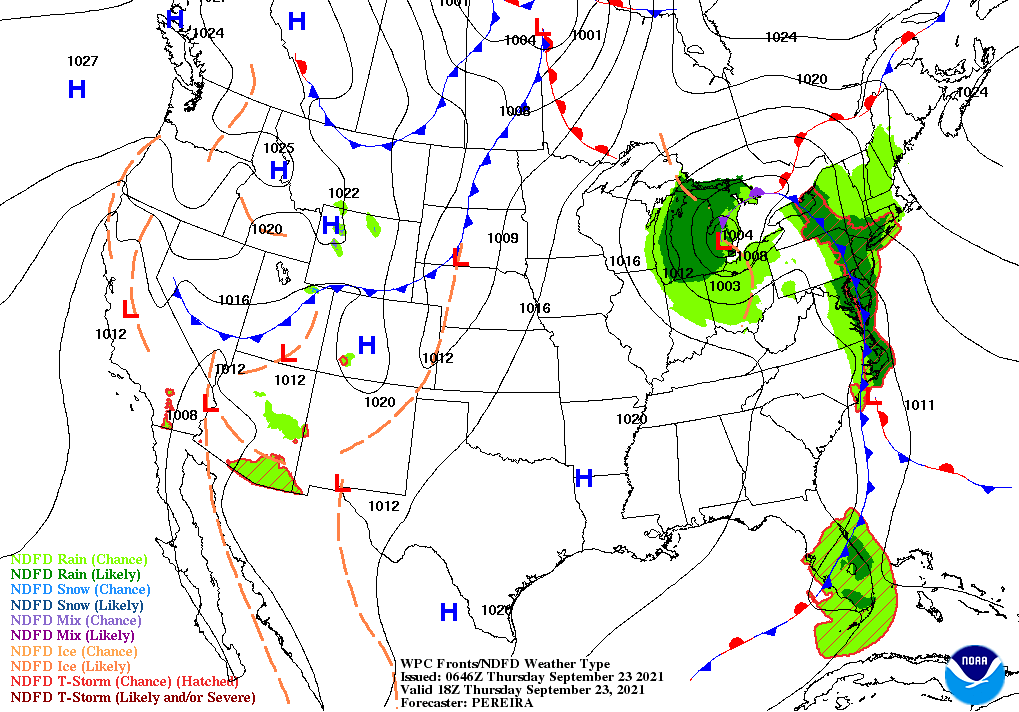
In the South, cool, dry weather prevails in the wake of a cold front’s passage, except for lingering rain along the Atlantic Coast. Thursday’s high temperatures will remain below 70°F in parts of the southern Appalachians. Several Southeastern rivers are still running high in the wake of recent downpours, but no major flooding is occurring.
In the West, warm, dry weather prevails. Thursday’s high temperatures could reach 100°F as far north as California’s Sacramento Valley. Elsewhere in California, the southern Sierra Nevada has become the latest “hot spot” for wildfire activity, with significant smoke from the KNP Complex and the Windy Fire broadly degrading air quality.
Add Comment