Weather
Weather remains very unsettled nearly nationwide

Across the Corn Belt, chilly conditions prevail early Monday across the upper Midwest, where temperatures locally fell below 0°. In contrast, mild weather covers the southern and eastern Corn Belt. Some light rain is falling early Monday in the Ohio Valley, where early-Monday morning temperatures generally range from 35 to 50°.
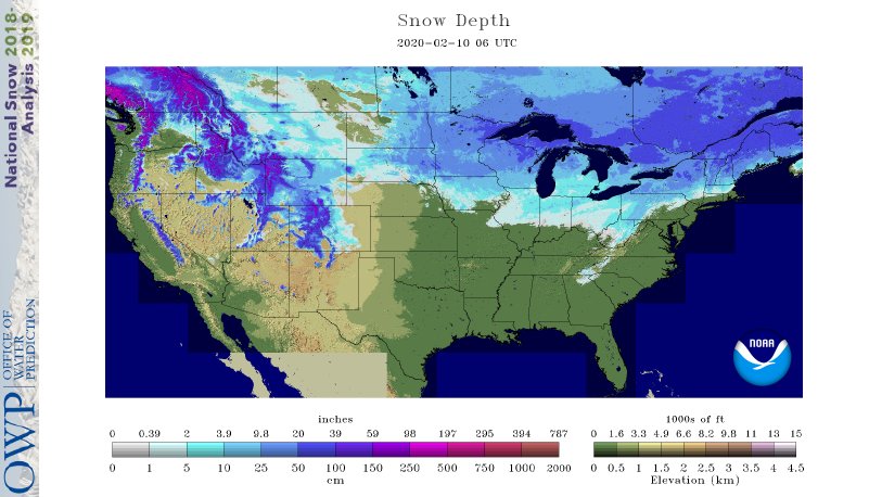
On the Plains, dry weather prevails. However, cloudiness is thickening across the southern Plains, where precipitation is approaching from the south and west. Weekend snow blanketed portions of the northern Plains, with 10.4 inches reported in Huron, South Dakota.
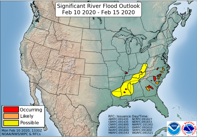
In the South, varying degrees of lowland flooding linger in the wake of last week’s downpours. Early Monday, minor to moderate flooding is being reported at more than 100 river gauges from the lower Mississippi Valley to the Atlantic coastal plain of Georgia and the Carolinas. Currently, rain is returning across the interior Southeast, maintaining soggy field conditions. Warm, dry weather prevails, however, along the southern Atlantic Coast.
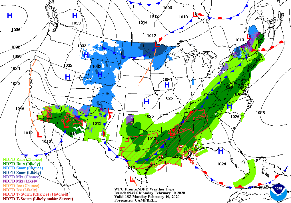
In the West, scattered showers stretch from southern California to the southern Rockies. Snow is already falling at higher elevations of the southern Rockies, with freezing levels expected to lower significantly later Monday. Elsewhere, patchy snow showers are affecting the northern and central Rockies, while mild, dry weather covers northern and central California and the Pacific Northwest.
Add Comment