Weather
Typical, wide-variances of weather ahead into the new week across the Heartland
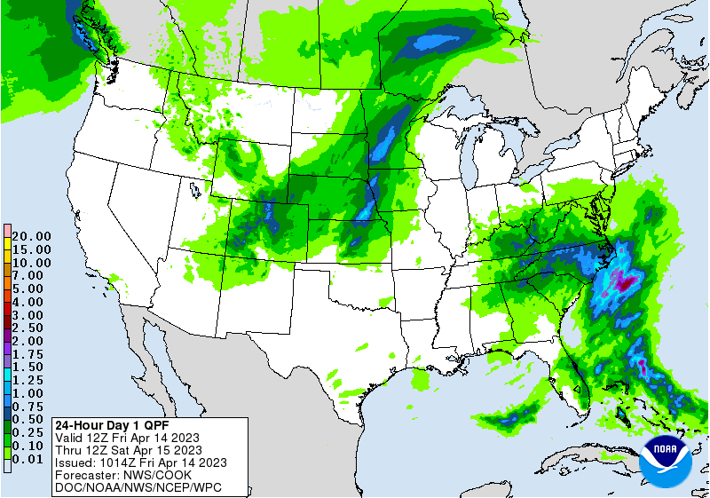
A disturbance lifting northeastward across the Southeast will reach the middle Atlantic States during the weekend. Additional rainfall should total 1 to 2 inches, with higher amounts possible in a few spots.
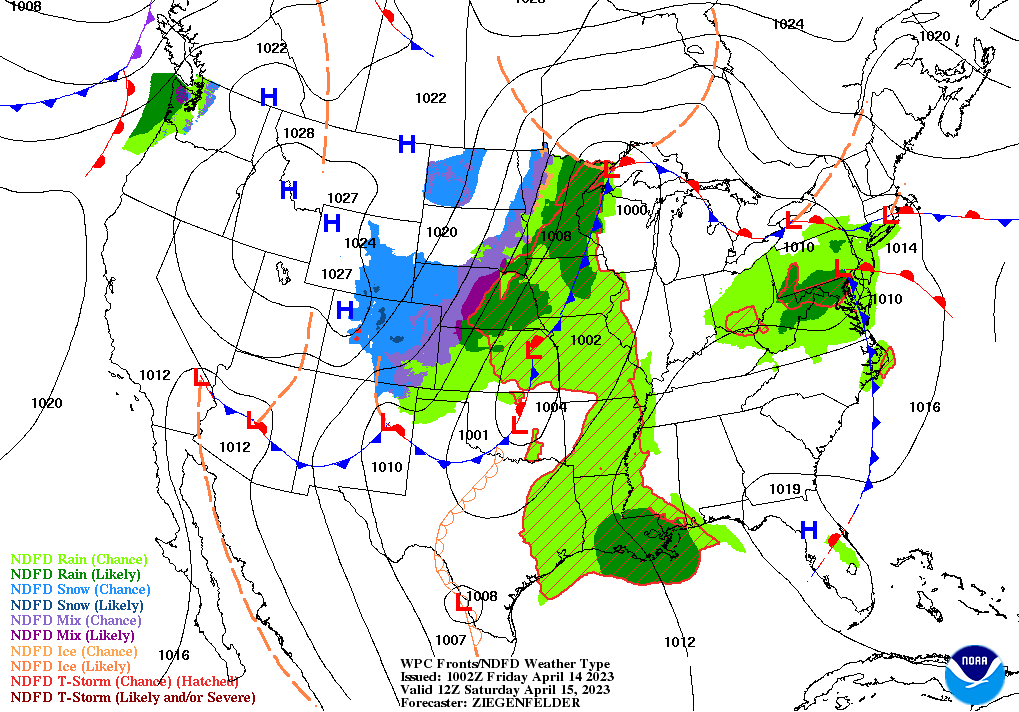
Meanwhile, a strong, slow-moving cold front will cross the Mississippi Valley during the weekend before moving into the eastern U.S. early next week.
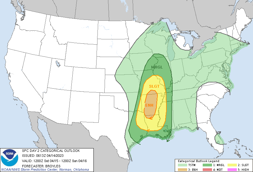
Severe thunderstorms may occur along the front, especially on Saturday in the middle and lower Mississippi Valley and neighboring areas.
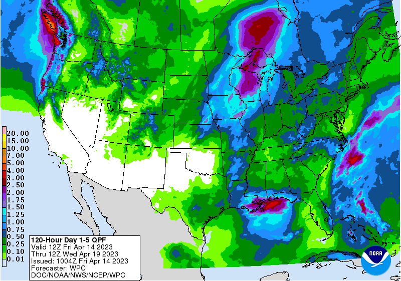
Precipitation will be slow to depart the Midwest, with rain and snow continuing through the weekend in many areas and lasting into early next week in the Great Lakes region. Precipitation totals of 1 to 2 inches in the upper Midwest could aggravate lowland flooding that has developed in recent days due to melting snow.
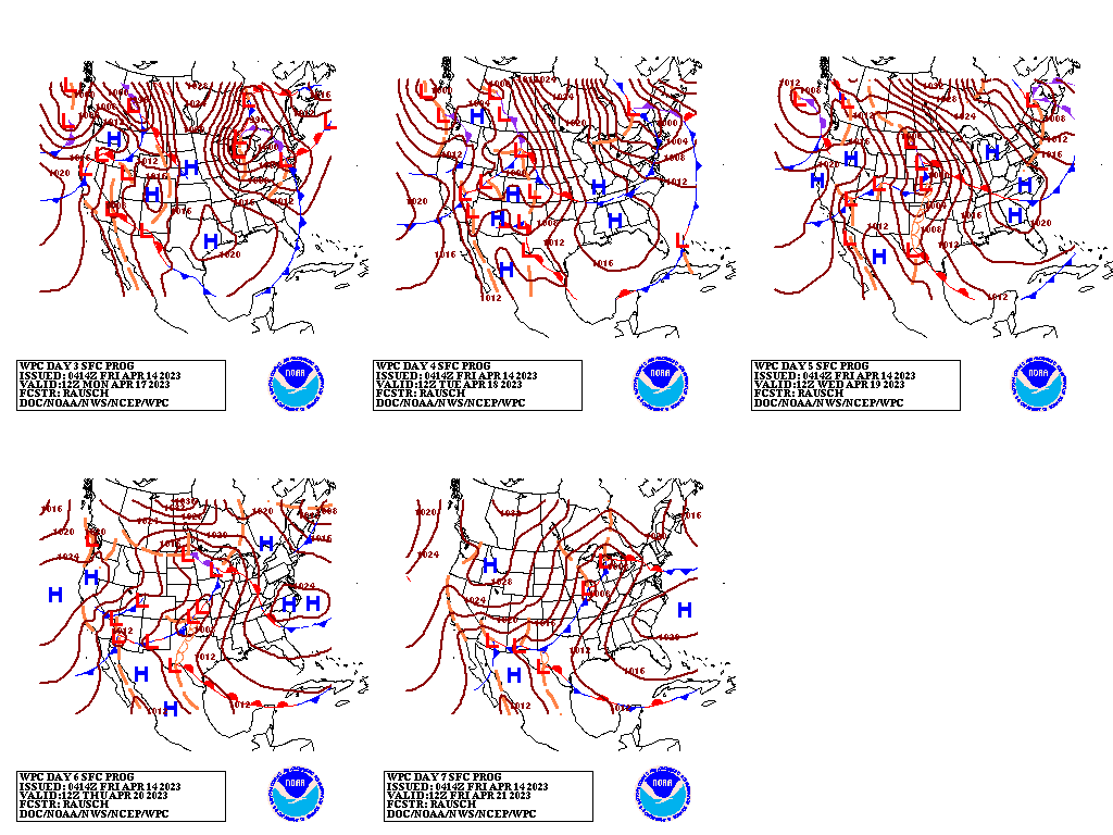
Elsewhere, little or no precipitation will fall during the next 5 days from southern California to the southern Plains.
Add Comment