Weather
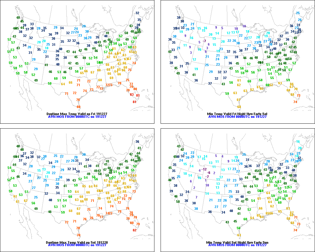
Temps vary greatly across the Heartland
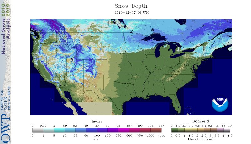
Across the Corn Belt, snow remains on the ground in much of the Dakotas, Minnesota, the northwestern half of Wisconsin, and Michigan’s Upper Peninsula. The snow depth in Minneapolis-St. Paul, Minnesota, dropped to 4 inches early Friday—the first time it has been below the 5-inch mark since November 26. Meanwhile, slightly cooler air is overspreading the southern and eastern Corn Belt, following a spell of record-setting warmth. On December 26, daily record highs included 68° in Cape Girardeau, Missouri; 65° in Lincoln, Illinois; and 61° in Grand Rapids, Michigan.
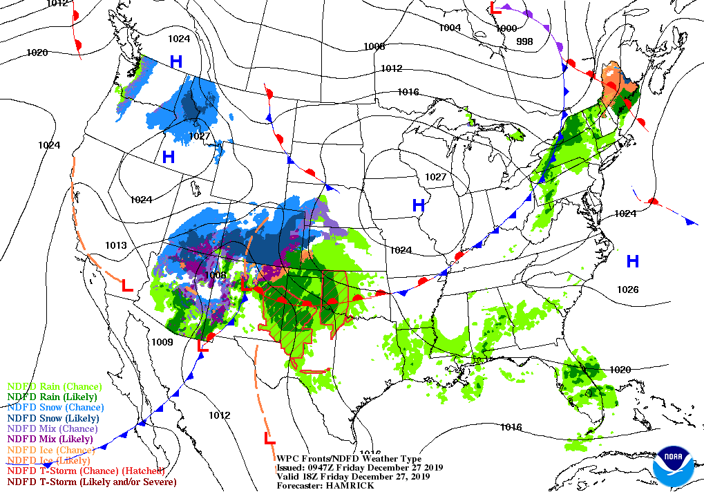
On the Plains, tranquil weather prevails in advance of an approaching storm system. Mild conditions linger across the southern Plains, where isolated rain showers have developed. Meanwhile, chilly conditions prevail on the northern Plains, where overnight Thursday temperatures in North Dakota locally fell below 0°. Large sections of the Dakotas have reported continuous snow cover since late November, when a post-Thanksgiving storm dumped heavy snow.
In the South, unusual warmth favors off-season fieldwork and farm maintenance activities. However, showers have begun to develop in a few areas, particularly across the central Gulf Coast region, signaling the onset of a wetter pattern.
In the West, weather conditions are improving across southern California, following Thursday’s winter storm. However, significant storminess—including high-elevation snow—is currently overspreading the Four Corners States. Cool, dry weather covers the remainder of the region, except for a few rain and snow showers in the Pacific Northwest.
Add Comment