Weather
Temps vary across the Heartland; a little rain on parts of the Plains
Across the Corn Belt, frost and freezes were reported Friday morning in the upper Great Lakes region, stretching from northeastern Minnesota to northern Lower Michigan. The remainder of the region is also experiencing cool weather; Friday’s Midwestern high temperatures will remain mostly below 70°F. A cold front moving into areas west of the Mississippi River is generating scattered rain showers.
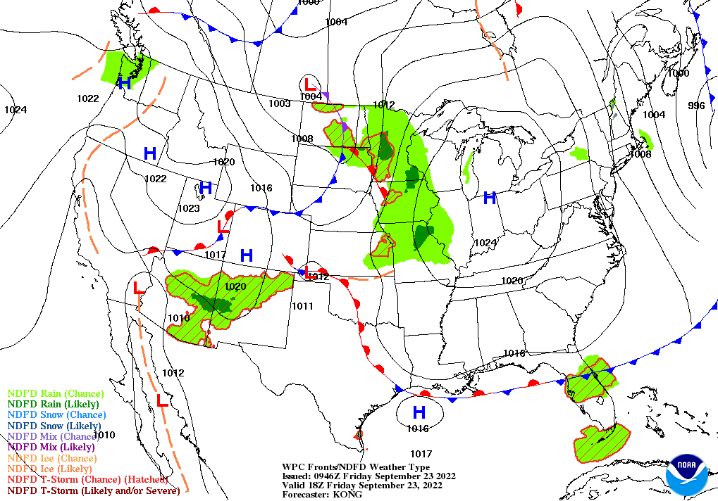
On the Plains, hot, dry weather remains in place across much of Oklahoma and Texas. Meanwhile, widely scattered showers dot the northern and central Plains, in conjunction with a fast-moving cold front. Despite the showers, soil moisture remains limited for winter wheat germination. On September 18, U.S. winter wheat seeding was 21% complete, with progress on the Plains ranging from 13% planted in Oklahoma to 35% in Montana.
In the South, dry weather continues to promote fieldwork and summer crop maturation. However, cooler air has overspread the Southeast, excluding Florida’s peninsula. In contrast, record-setting heat persists in the western Gulf Coast region, where Friday’s high temperatures could again approach or reach 100°F in non-coastal locations.
In the West, a return to dry weather follows recent showers. In addition, warmth has returned across the Southwest, where Friday’s high temperatures may top 100°F at some low-elevation sites. Although fires have become less active in recent days, officials are still monitoring dozens of wildfires—collectively responsible for more than 900,000 acres of burned vegetation—in California and from the Cascades to the northern Rockies.
Add Comment