Weather
Showers then, cooler, drier pattern ahead for the Heartland
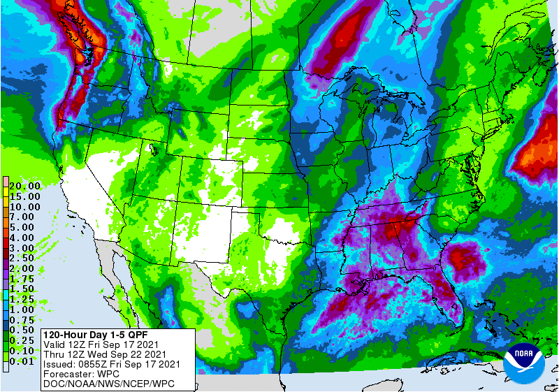
Post-Tropical Cyclone Nicholas will continue to produce relatively minor rainfall impacts across the South, where additional rainfall could total 1 to 2 inches or more.
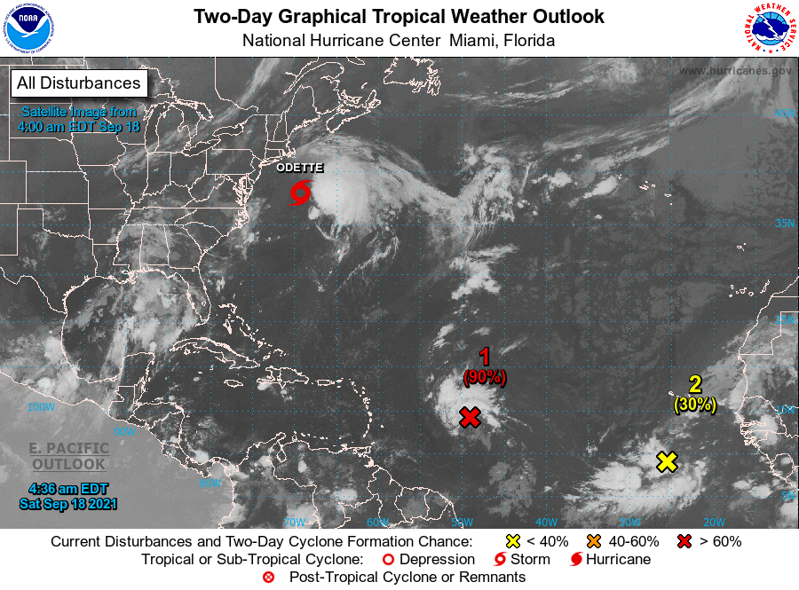
Meanwhile, a low-pressure system near the middle Atlantic Coast will approach North Carolina’s Outer Banks before turning northeastward. Regardless of further development, this potential tropical cyclone will result in heavy surf along the Atlantic Seaboard, although most of the system’s significant impacts will remain offshore.
Farther west, a pair of cold fronts will cross the northern U.S. The leading front, currently stretching from the upper Great Lakes region to the central Plains, will weaken while traversing the Midwest. The trailing front, arriving Friday in the Northwest, will deliver sharply cooler conditions and drought-easing precipitation, extending as far south as the northern tier of California.
Early next week, the front will push eastward across the nation’s mid-section, accompanied by gusty winds and widespread showers. In contrast, mostly dry weather will prevail during the next 5 days across the nation’s southwestern quadrant.
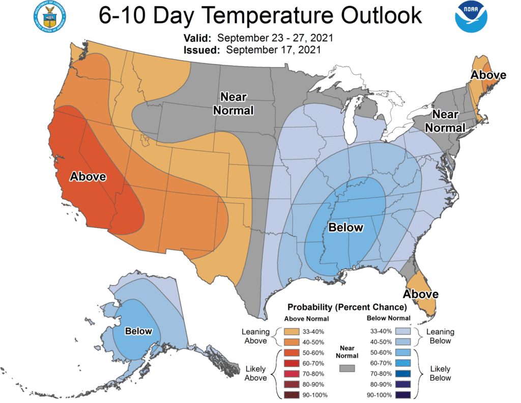
Looking ahead, the 6- to 10-day outlook calls for the likelihood of near- or above-normal temperatures and near- or below-normal precipitation across most of the country.
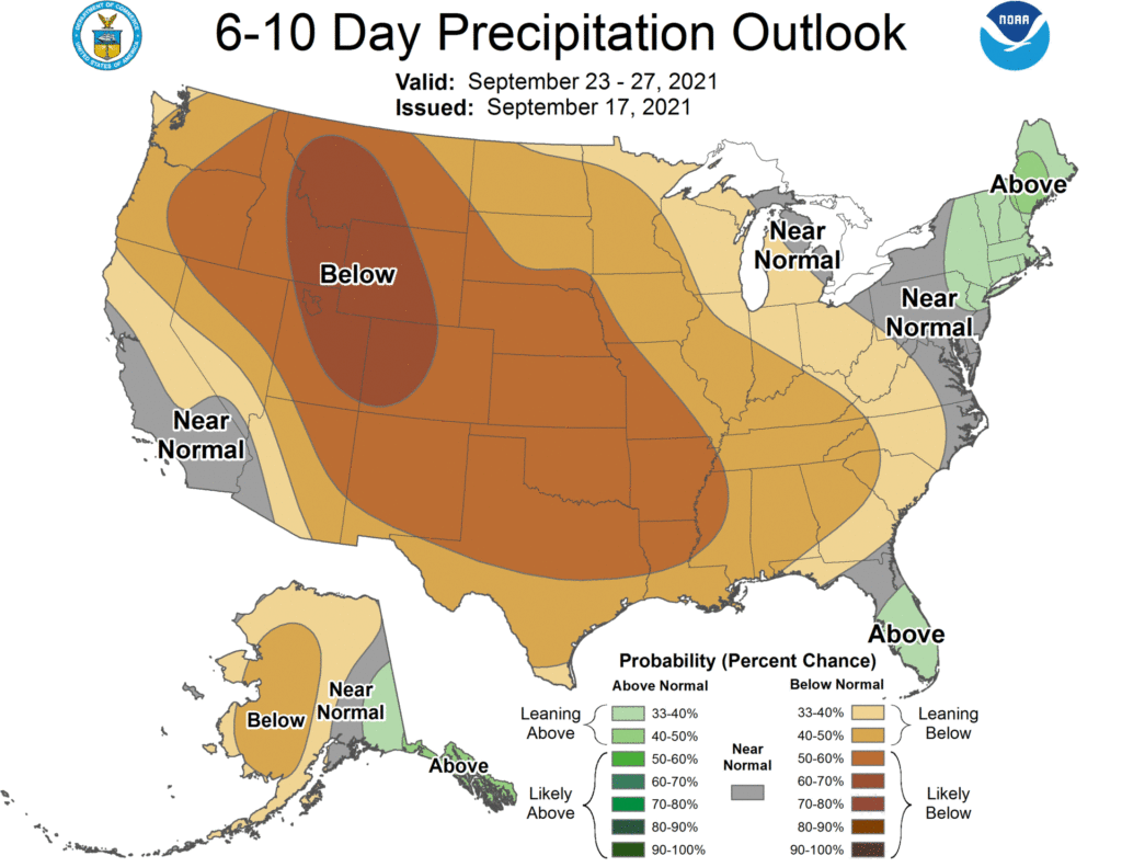
Cooler-than-normal conditions will be confined to the central Gulf Coast region and the Intermountain West, while wetter-than-normal weather should be limited to the middle and northern Atlantic States.
Add Comment