Weather
Rains bypass key drought areas across the Heartland
In the Corn Belt, dry weather extends across northern corn and soybean production areas from the Dakotas to Michigan. Meanwhile, rain showers are spreading across the southern Corn Belt, slowing planting activities but maintaining generally favorable soil moisture for corn and soybean emergence and development.
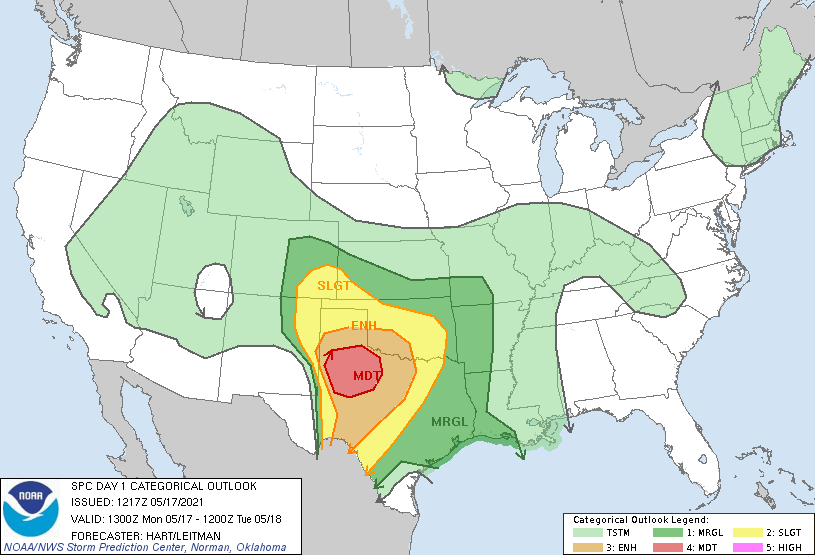
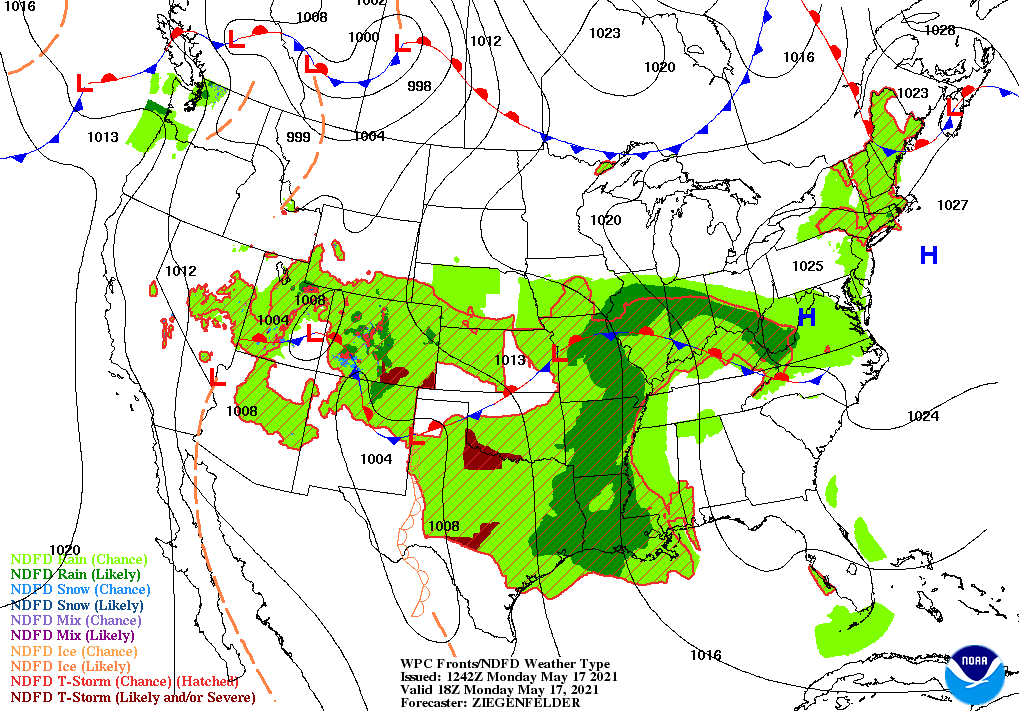
On the Plains, a slow-moving storm system is producing showers and thunderstorms across the southern half of the region. Later Monday, there is a significant risk of severe thunderstorms—featuring large hail and isolated tornadoes— across the southern High Plains. Meanwhile, punishing drought persists across the northern Plains, leading to widespread stress on rangeland, pastures, winter wheat, and spring-sown crops.
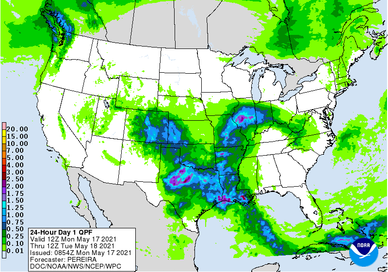
In the South, rain showers spreading across the lower Mississippi Valley are leading to mostly minor fieldwork delays. Wetter conditions exist, however, in the central Gulf Coast region, following last week’s downpours. In other areas, such as the western Gulf Coast region and the Southeast, warm, dry weather is promoting fieldwork—including planting of cotton, peanuts, and soybeans—and crop development.
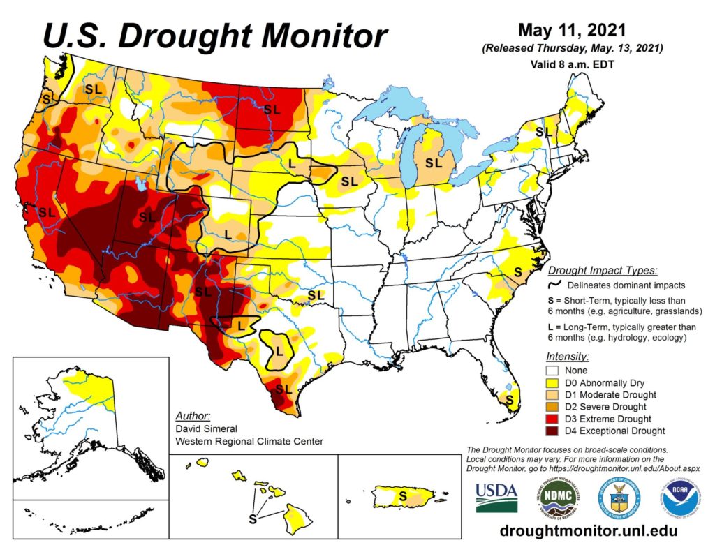
In the West, an early-season warm spell from the Pacific Northwest to the northern Rockies is melting mountain snowpack, leading to river rises. In addition, short-term Northwestern dryness is boosting irrigation demands and increasing stress on rain-fed crops. On May 9 in Oregon, 42% of the winter wheat was rated very poor to poor.
Add Comment