Weather
Rain on the far southern Plains; tranquil elsewhere
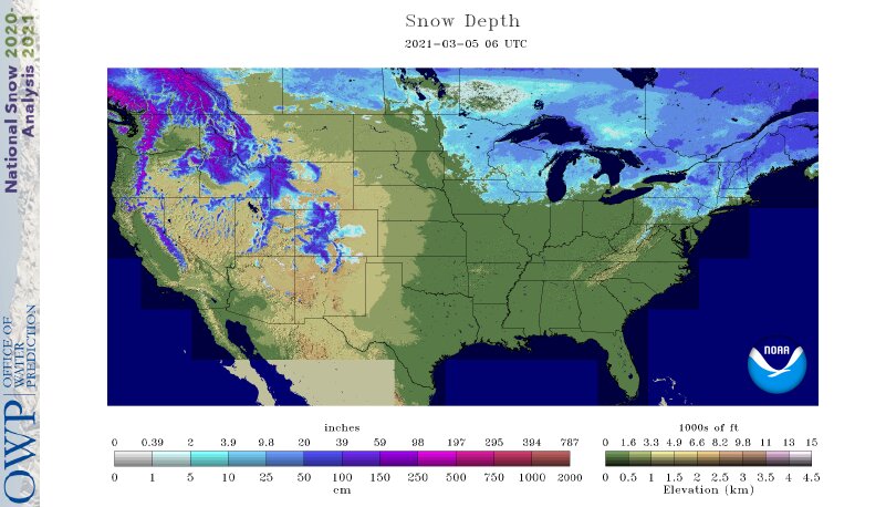
Across the Corn Belt, dry weather prevails. The coolest conditions are occurring in the Great Lakes region. Away from the Great Lakes, any remaining snow continues to erode. In Moline, Illinois, for example, the snow depth fell below 1 inch earlier this week for the first time since late December. Moline’s streak of 63 consecutive days (December 30 – March 2) with at least an inch of snow on the ground at daybreak was the longest in that location since 2000-01.
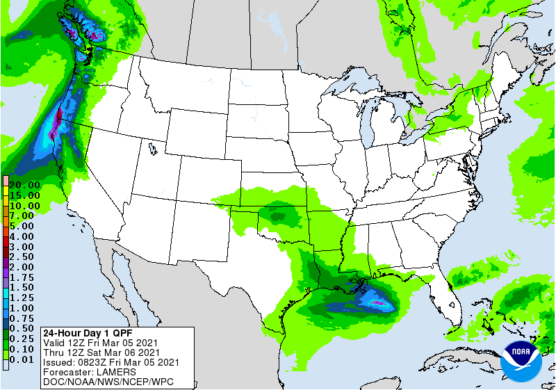
On the Plains, rain—falling most heavily across parts of Kansas and northern Oklahoma—is providing a beneficial boost in topsoil moisture for rangeland, pastures, and winter wheat. However, the entire region remains devoid of snow cover, with Friday’s high temperatures expected to reach 65° as far north as eastern Montana and the western Dakotas.
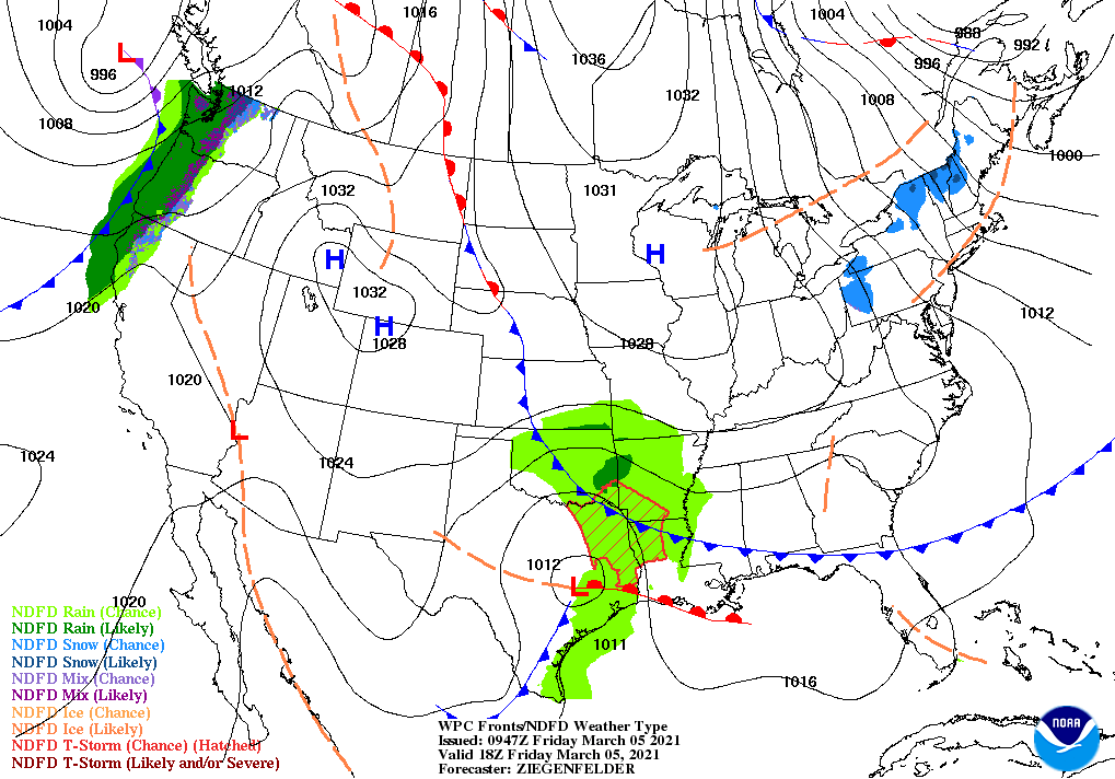
In the South, cool, dry weather covers the southern Atlantic region. Meanwhile, light rain is overspreading the mid-South, including parts of Arkansas. Elsewhere, the Kentucky River crest is located near Frankfort, Kentucky, where the river is currently more than 9 feet above flood stage—and at its highest level at that gauge since May 2010.
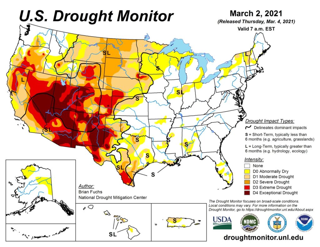
In the West, precipitation and gusty winds associated with an approaching cold front are moving ashore in the Pacific Northwest. Dry weather covers the remainder of the western U.S. In the Southwest, warmth is causing some premature melting of mountain snowpack, adding another layer of concern to producers already worried about water supplies and long-term drought. At the end of February, 89% of Arizona’s rangeland and pastures were rated in very poor to poor condition, compared to 19% a year ago and the 5-year average of 28%.
your drought monitor is a joke. we havent had a spec of moisture in 6 months and our drought condition has us improving. who the hell do you work for? “everwhere else is tranquil” BS!