Weather
“Quiet” weather across the Heartland; warmth on much of the Plains
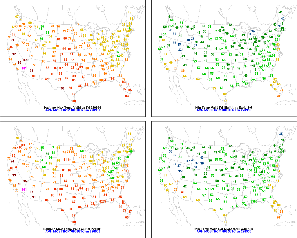
Across the Corn Belt, scattered frost was noted again Friday in the Great Lakes region, mainly outside primary corn and soybean production areas. As a result, late-developing corn and soybeans continue to move toward maturity, amid cool but favorably dry conditions. Friday’s high temperatures will remain below 70°F in much of the Great Lakes region.
On the Plains, scattered showers are developing across Montana, which on September 25 led the nation with topsoil moisture rated 95% very short to short. Across the remainder of the region, warm dry weather—with high temperatures approaching 90°F—continues to promote summer crop maturation and harvesting, as well as winter wheat planting.
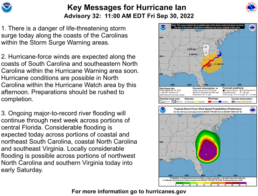
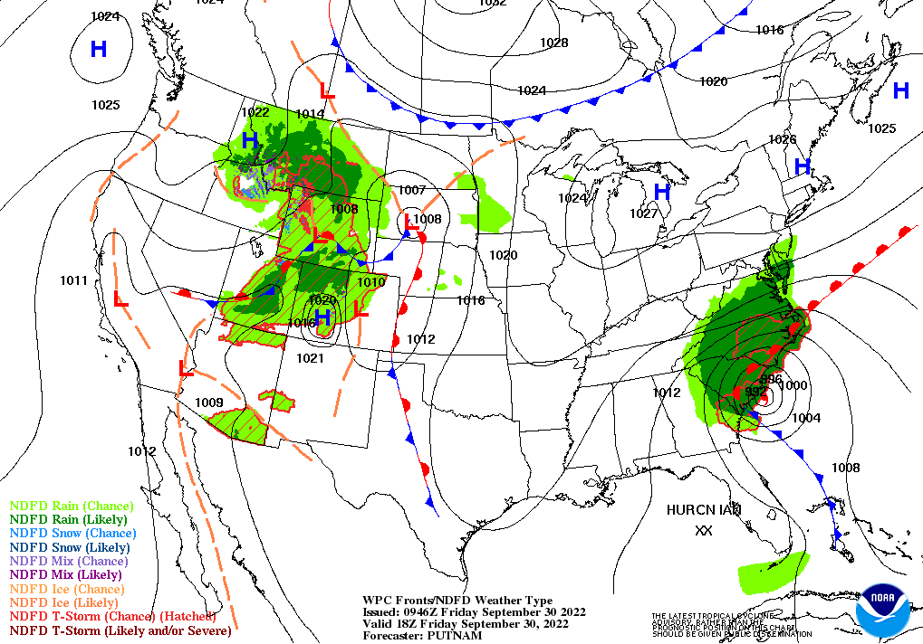
In the South, rescue, recovery, and damage assessment efforts continue in storm-battered Florida, especially in the hard-hit corridor stretching northeastward from the Fort Myers area. However, record-setting, fresh-water flooding has developed along many inland waterways, including the Peace and St. Johns Rivers. In Zolfo Springs, Florida, the Peace River crested last night 11.16 feet above flood stage, more than 2 feet above the September 1933 high-water mark. Farther north, in the Carolinas and Virginia, producers have been rushing to complete fieldwork, including harvest efforts where possible, in advance of Hurricane Ian’s approach.
In the West, widely scattered showers dot the northern Rockies and northern Intermountain West. Elsewhere, warm, dry weather remains ideal for early-autumn fieldwork, although moisture is lacking for recently planted winter grains. On September 25, Oregon led the Far West with topsoil moisture rated 71% very short to short.
Add Comment