Weather
Much warmer; rains develop on parts of the Plains, beneficial on central areas
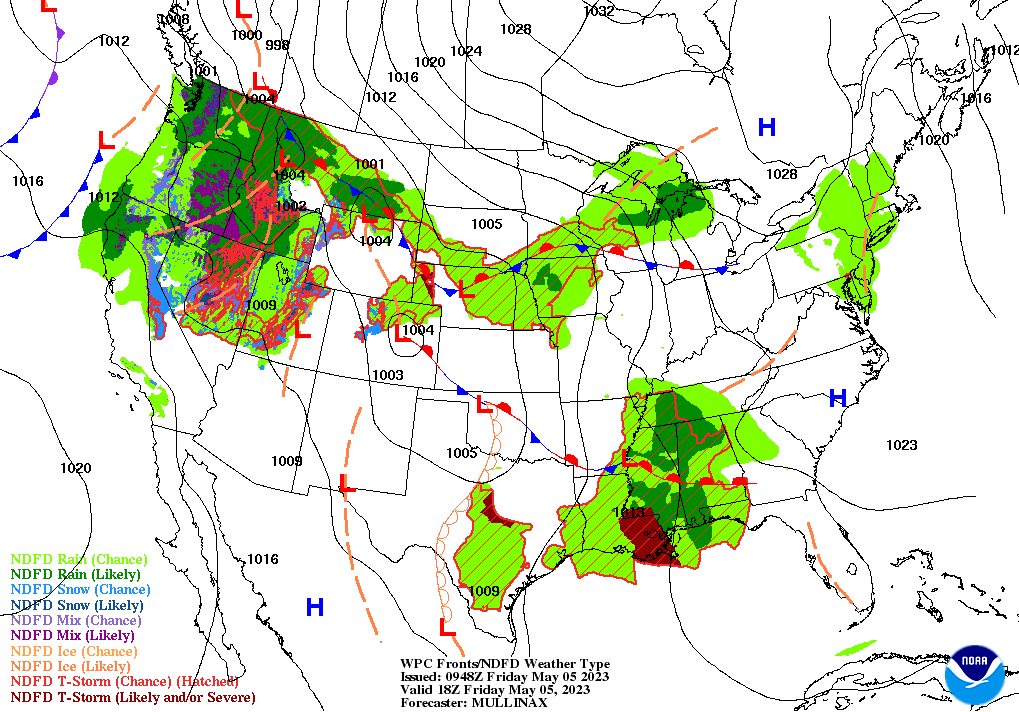
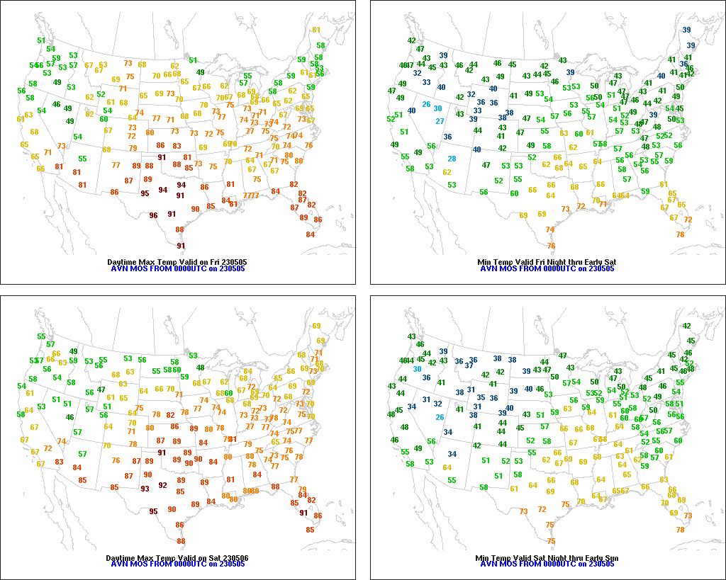
Across the Corn Belt, spotty showers from Nebraska into the upper Great Lakes region are causing only minor fieldwork disruptions. Meanwhile, temperatures continue to rebound from the recent cool spell, which limited fieldwork and summer crop emergence. Friday’s high temperatures should top 70°F throughout the Midwest, except in the northern Corn Belt. The Mississippi River crest (approximately 5 feet above flood stage), currently near Burlington, Iowa, is having a diminishing influence—and is no longer a top-ten crest—as runoff expands into drier areas of the Midwest.

On the Plains, heat is building across the southern half of the region, with Friday’s high temperatures expected to range from 90 to 95°F in much of Texas. Rangeland, pastures, and winter grains across the southern Plains that benefited from late-April rainfall are again being subjected to adversely hot, dry conditions. Elsewhere, isolated showers dot the central Plains, while mild, dry weather favors an acceleration of fieldwork across the northern Plains.
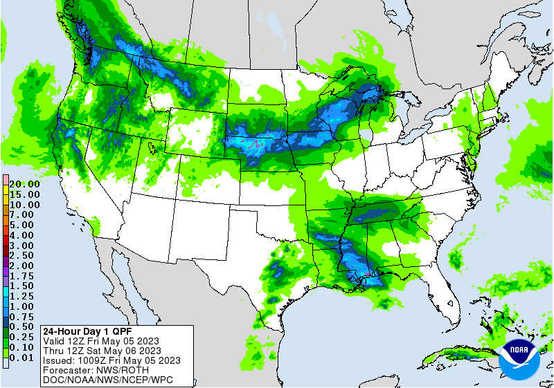
In the South, lingering cool weather prevails in the middle Atlantic States. Scattered frost was noted Friday morning in western Virginia. Farther south, showers and thunderstorms are racing across the lower Mississippi Valley and into the Southeast, slowing fieldwork but generally benefiting pastures and emerged summer crops.
In the West, below-normal temperatures cover most areas west of the Rockies. The cool weather is slowing the snow-melt pace, although many rivers are still swiftly flowing due to earlier runoff or dam releases. Early Friday, precipitation in northern California and the Northwest includes some high-elevation snow.
Add Comment