Weather
More rain for parts of the Corn Belt; heat dominates the southern Plains
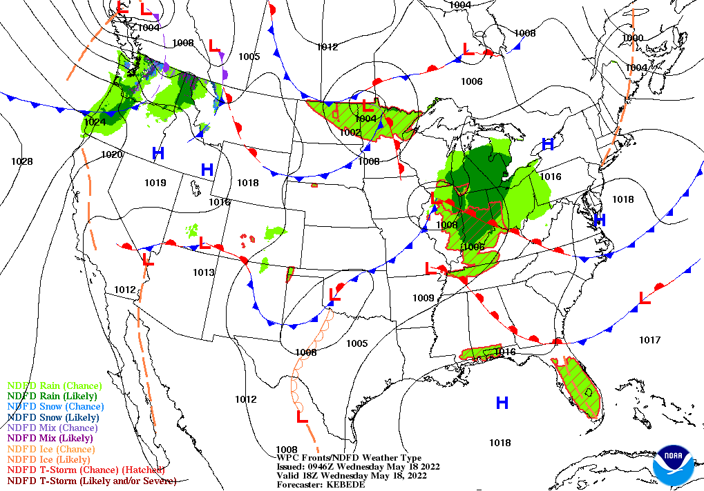
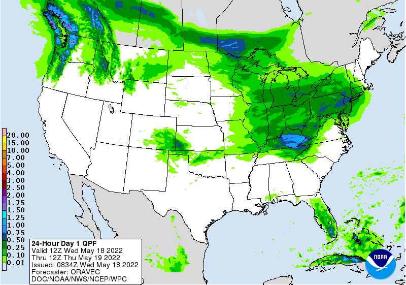
Across the Corn Belt, showers and thunderstorms are curtailing fieldwork, following a favorable period for corn and soybean planting. Early Wednesday, some of the heaviest rain is falling in the middle Mississippi Valley. During the week ending May 14, more than one-quarter (27%) of the U.S. corn and 18% of the soybeans were seeded, although overall planting progress for both crops—49% for corn and 30% for soybeans—is the slowest since 2019.
On the Plains, overnight thunderstorms resulted in isolated wind and hail damage, mainly across Kansas and Nebraska. A wind gust to 75 mph was reported in Russell, Kansas. Meanwhile, blazing heat continues across the drought-stricken southern Plains, negating the benefits of any isolated thunderstorms. Wednesday’s high temperatures should range from 100 to 105°F throughout central Texas. Farther north, wetness-related planting delays linger in eastern North Dakota.
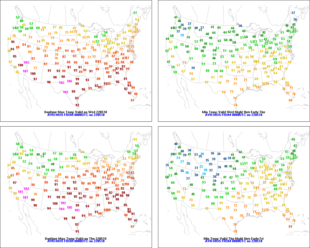
In the South, hot, dry weather favors fieldwork and crop development, although short-term dryness is becoming a concern in a few areas. On May 14, Georgia and South Carolina tied for the Southeastern lead in topsoil moisture rated 62% very short to short. Early Wednesday, thunderstorms are just starting to overspread the mid-South, including northern Arkansas.
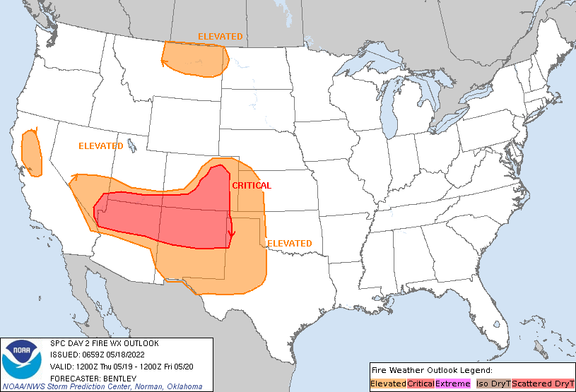
In the West, unusual warmth prevails across the southern half of the region, leading to further drought intensification. The surface elevation of Lake Mead at Hoover Dam has fallen to its lowest level since 1937, when the reservoir was being filled. The lake’s current elevation is more than 175 feet below the record-high level of 1,225.85 feet set in July 1983. Meanwhile, showers overspreading the Northwest are benefiting winter grains and spring-sown crops.
Add Comment