Weather
More rain ahead for much of the Corn Belt
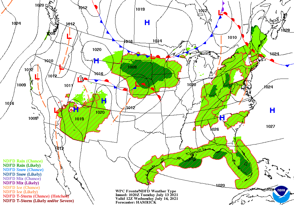
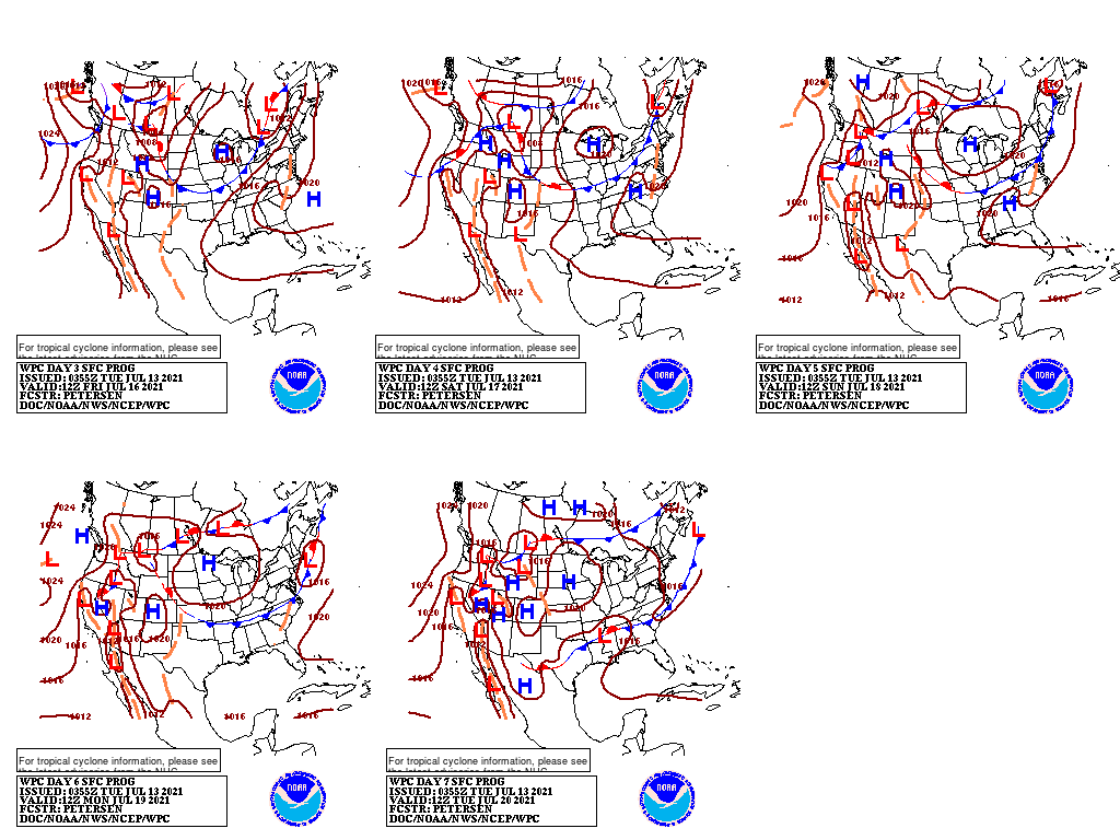
Two weather systems—a weakening cold front in the East and a storm system (interacting with the Southwestern monsoon circulation) crossing the Plains—will provide the focus for scattered to widespread showers and thunderstorms.
Showers associated with the Eastern front will diminish during the second half of the week.
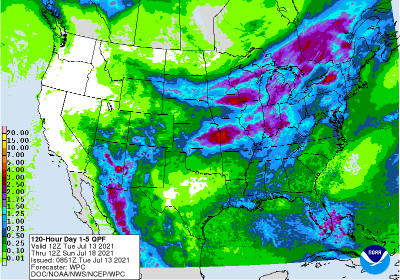
Meanwhile, the trailing system will produce locally heavy rain (1 to 3 inches or more) across the Plains, Midwest, and mid-South. However, a few areas— including the southern Plains and the nation’s northern tier (e.g. Montana, North Dakota, and northern Minnesota)—will receive little or no rain. Elsewhere, hot, mostly weather will persist across California, the northern Great Basin, and the Southwest, while monsoon-related showers may provide limited drought relief in the Four Corners States.
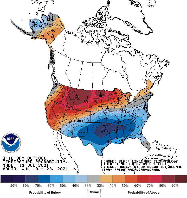
Looking ahead, the 6- to 10- day outlook calls for the likelihood of above-normal temperatures across the northern and western U.S., while cooler-than-normal conditions will cover the southeastern half of the country.
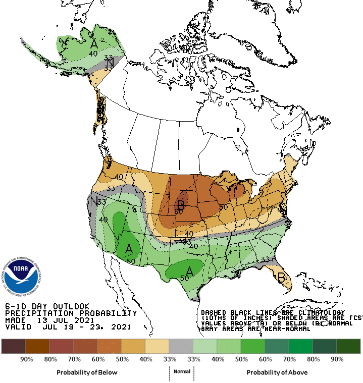
Meanwhile, below-normal rainfall across the northern half of the U.S. should contrast with wetter-than-normal weather in much of the South, excluding southern Florida.
Add Comment