Weather
More chilly, unsettled weather for the Heartland
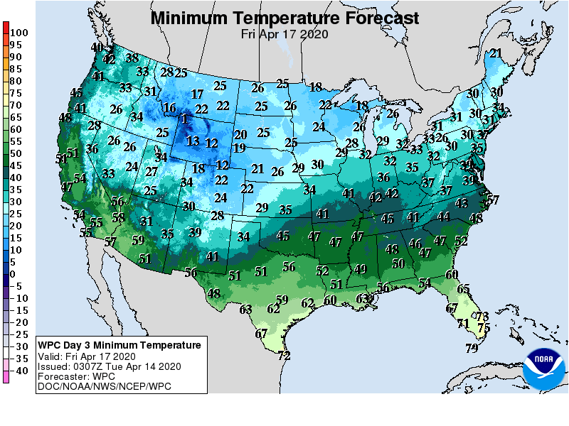
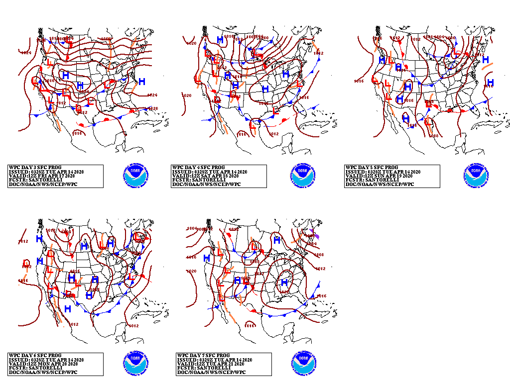
A cold weather pattern will remain in place for the remainder of the week across most of the country. Warmth will be largely limited to northern California, the Pacific Northwest, and the lower Southeast, including Florida’s peninsula. As the late-season cold spell continues during the next few days, freezes can be expected along and north of a line from the northern panhandle of Texas into the Tennessee Valley. In areas where freezes occur, crops that remain at risk include heading winter wheat, emerging summer crops, and blooming fruits. In Tennessee, for example, 57% of the apples were in full bloom on April 12.
Snow will blanket the northern and central Rockies, while some accumulations may occur as far south as the central and southern Plains, the middle Mississippi Valley, and the central Appalachians.
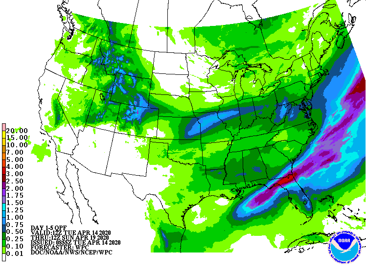
Farther south, 5-day rainfall totals could reach 1 to 3 inches across northern Florida and southeastern Georgia.
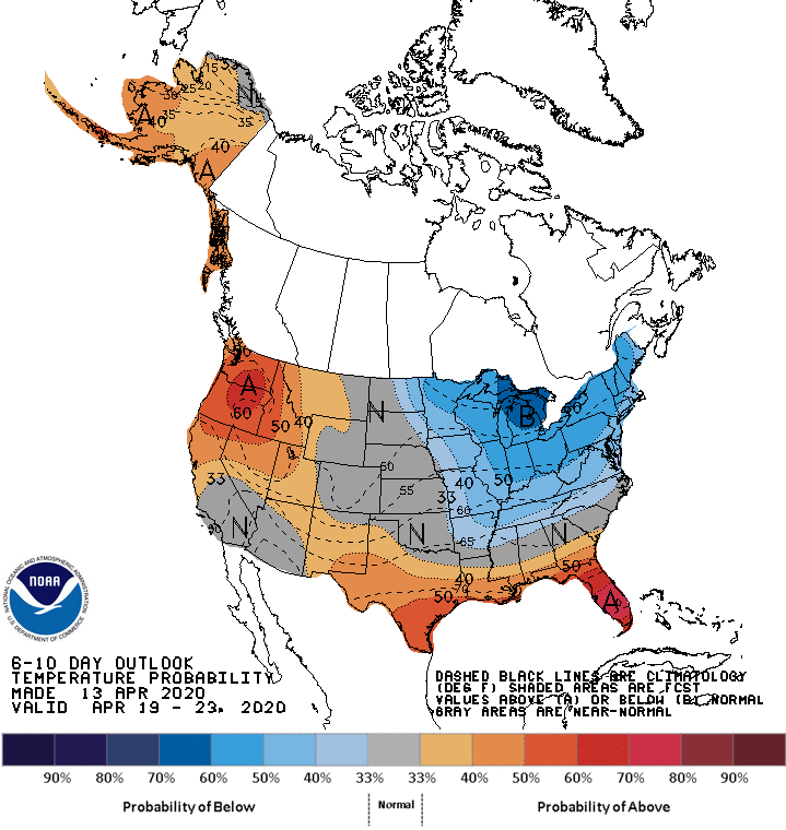
Looking ahead, the 6- to 10-day outlook calls for the likelihood of below-normal temperatures in the Midwest and Northeast, while warmer-than-normal weather will prevail across the Northwest and the Deep South.
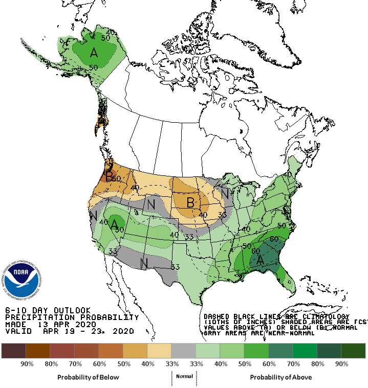
Meanwhile, below-normal precipitation from the Pacific Northwest into the upper Midwest should contrast with wetter-than-normal conditions across much of the southern half of the U.S. and throughout the East.
Add Comment