Weather
Mild to seasonally warm, largely dry weather across the Heartland
Across the Corn Belt, mild, dry weather favors corn and soybean development. However, growing-season rainfall has been substantially below normal in parts of the western Corn Belt, leaving one-fifth to one-third of the corn crop rated in very poor to poor condition on August 21 in Nebraska (30%), Missouri (28%), and South Dakota (22%).
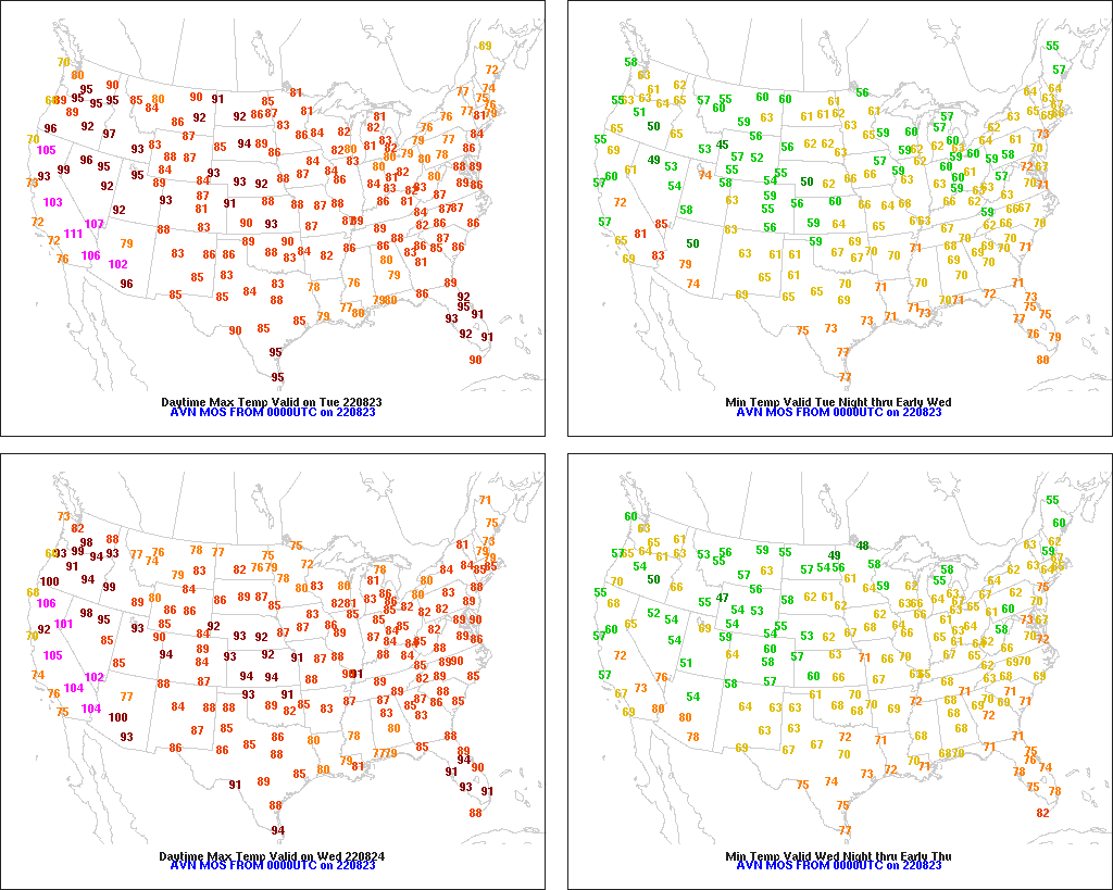
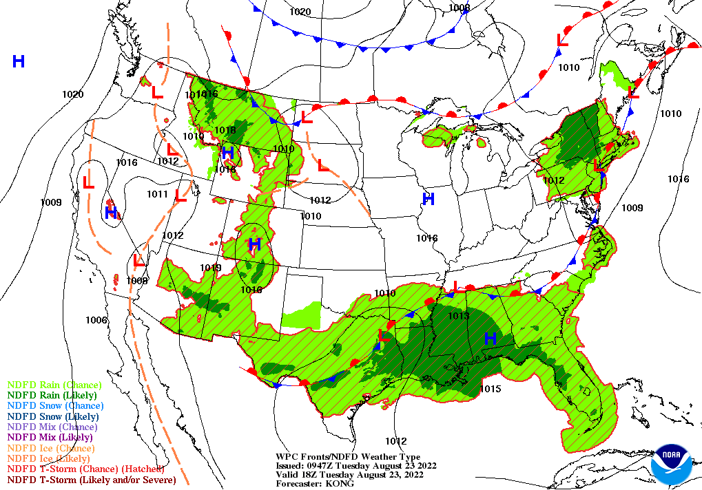
On the Plains, dry weather has returned across much of Oklahoma and Texas, following recent, drought-easing rainfall. Meanwhile on the northern Plains, isolated showers are causing only minor small grain harvest delays. Tuesday’s high temperatures will reach 90°F or higher across large sections of the northern and central Plains, favoring crop maturation.
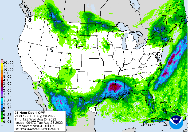
In the South, rain has ended across northeastern Texas, where extensive flash flooding occurred on Monday. Dallas-Ft. Worth, Texas, experienced its second-wettest 24-hour period on record, with 9.19 inches of rain falling on August 21-22. Currently, the flood threat has shifted to the lower Mississippi Valley and environs, where heavy showers are halting fieldwork and sparking river rises. In contrast, drier air is moving across the northern tier of the region, from the Ozark Plateau to the middle Atlantic Coast.
In the West, a partial withdrawal of rain associated with the North American monsoon circulation has led to drier conditions across the Four Corners States. Still, spotty Southwestern showers could lead to additional flash flooding, especially on recently burned hillsides. Meanwhile, hot, dry weather across the remainder of the region, including the Northwest, is promoting fieldwork but reducing soil moisture for the upcoming winter wheat planting season.
Add Comment