Weather
Largely favorable weather across the Heartland
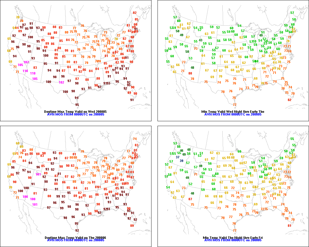
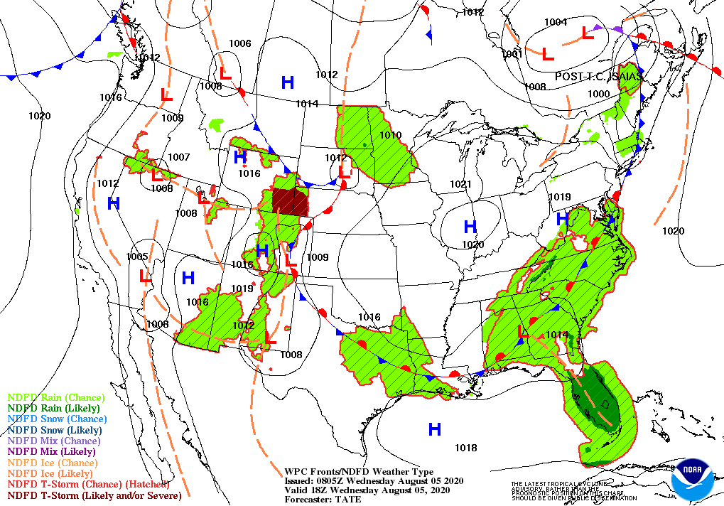
Across the Corn Belt, cool weather is maintaining an absence of heat stress as corn and soybeans progress through the filling stage of development. Meanwhile, the most notable patch of Midwestern drought stretches from northeastern Nebraska into central Iowa. Early Wednesday, widely scattered showers and thunderstorms are spreading across the upper Midwest.
On the Plains, spotty showers continue to benefit rangeland, pastures, and immature summer crops. In addition, temperatures remain mostly at near- or below-normal levels, continuing the recent trend toward favorably cooler weather. Nevertheless, some drought impacts persist, primarily across the central and southern High Plains.

In the South, recovery efforts are underway along and east of the path of Hurricane Isaias, which moved inland across North Carolina on the night of August 3-4 before accelerating northward. Portions of the coastal Carolinas experienced extensive storm-surge flooding, while a broad area along the Atlantic Seaboard weathered a brief period of high winds and heavy rain. Crop assessments are underway along Isaias’ path across the Atlantic coastal plain. Currently, mild, dry weather covers the South, except for lingering heat, humidity, and showers in the southern Atlantic region.
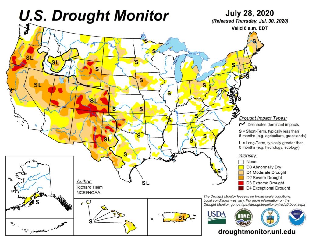
In the West, dry weather continues to promote fieldwork, including Northwestern small grain harvesting. However, a lack of rainfall in drought-affected areas of the West continues to stress rangeland, pastures, and rain-fed crops. On August 2, for example, 70% of Oregon’s rangeland and pastures were rated in very poor to poor condition.
Add Comment