Weather
Heat wave pattern next week for parts of the Heartland

Tropical Storm Fay will move inland across the Northeast later Friday or Friday night. Storm-total rainfall could reach 2 to 4 inches, with locally higher amounts, while tropical storm-force wind gusts (39 mph or greater) will be common in mid-Atlantic coastal areas. Northeastern flooding should be minimal, as Fay’s rain will be falling in an area that has experienced hotter- and drier-than-normal weather since late May.
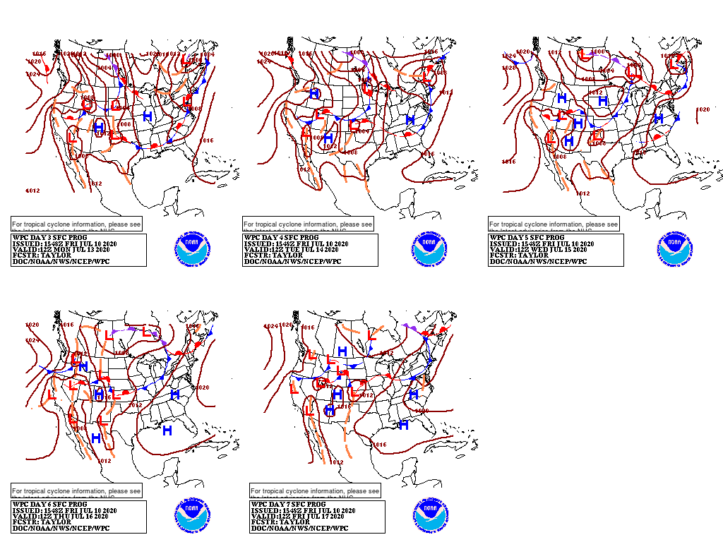
Farther west, a series of cold fronts will maintain the possibility of showers and thunderstorms from the northern Plains into the Midwest. In addition, cooler weather will benefit Midwestern summer crops, some of which are entering the reproductive stage of development.
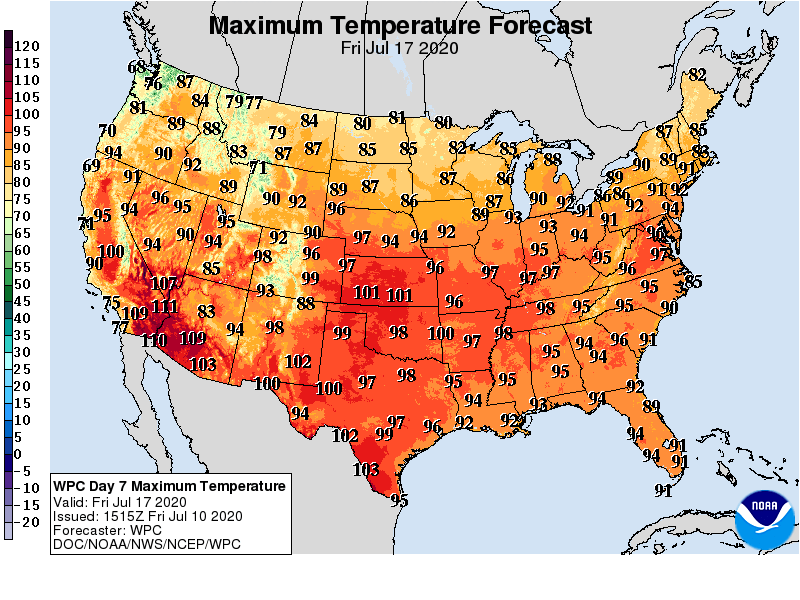
In contrast, hot, dry weather will persist across the southern Plains and Southwest. In fact, little or no rain will fall during the next 5 days from the Pacific Coast to the High Plains, as well as the Rio Grande Valley and the western Gulf Coast region.
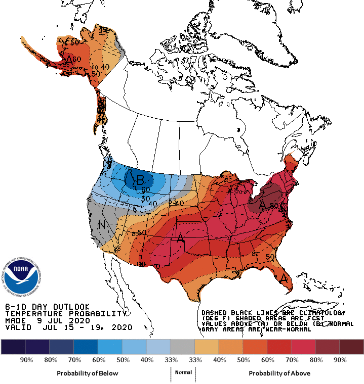
Looking ahead, the 6- to 10-day outlook calls for the likelihood of near- or above-normal temperatures nationwide, except for cooler-than-normal conditions from the Pacific Northwest to the northern High Plains.
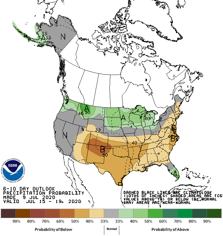
Meanwhile, near- or below-normal rainfall across most of the country should contrast with wetter-than-normal weather in southern Florida and across the North from Washington to Michigan.
Add Comment