Weather
Heat builds on much of the Plains; unsettled across the far eastern, northern Corn Belt
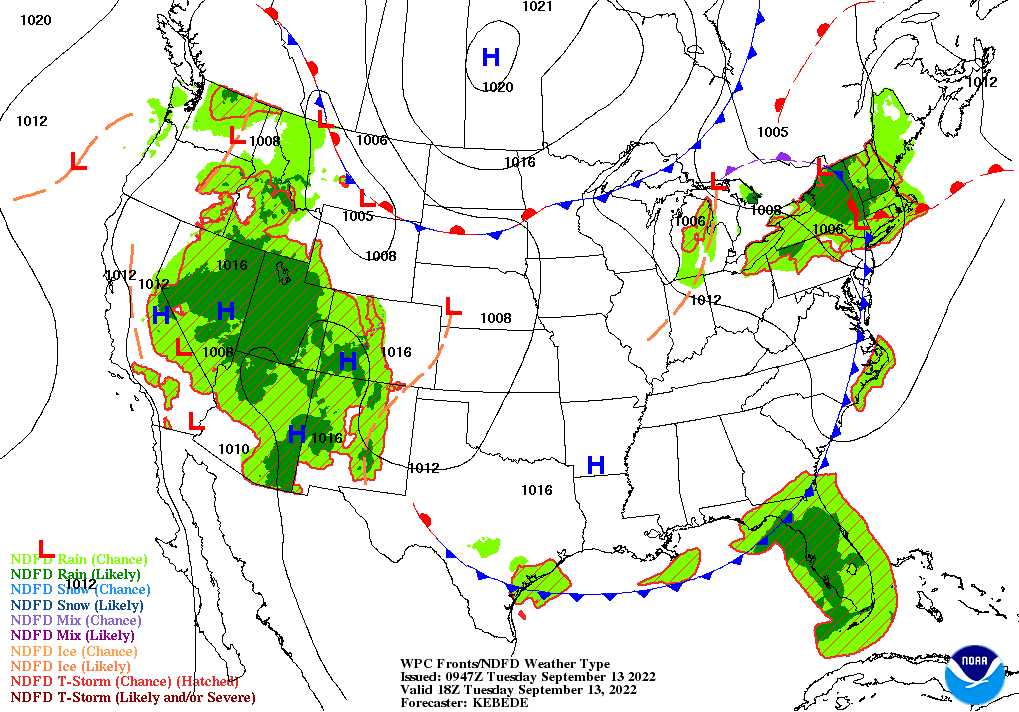
Across the Corn Belt, a low-pressure system is drifting northeastward across the Great Lakes region. Cloudy, showery weather lingers across parts of the eastern Corn Belt, where Tuesday’s high temperatures will generally range from 70 to 80°F. Nationally, both corn and soybeans are maturing at a slightly slower-than-normal pace; on September 11, one-quarter of the U.S. corn crop was fully mature, versus the 5-year average of 30%.
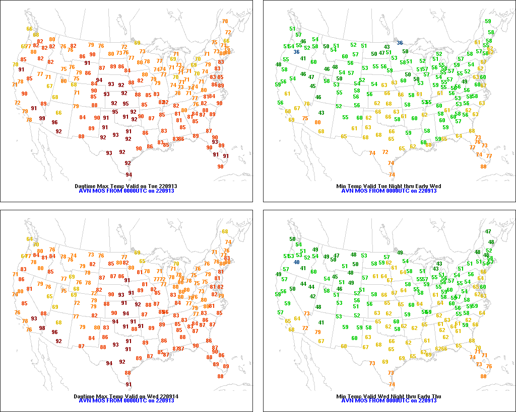
On the Plains, very warm, dry weather prevails, especially from Nebraska southward. Conditions are nearly ideal for fieldwork, including harvest activities and winter wheat planting. However, topsoil moisture was rated more than one-half very short to short on September 11 in each of the region’s states, ranging from 54% in Texas and North Dakota to 93% in Montana. Substantial topsoil moisture shortages also plague Kansas (86% very short to short) and Nebraska (82%).
In the South, any lingering showers are confined to Florida. Elsewhere, warm, dry weather favors an acceleration of fieldwork, including harvest activities for crops such as corn, peanuts, rice, and soybeans. In Louisiana, where fieldwork has been curtailed by wetness, only 49% of the intended sugarcane acreage had been planted by September 11, compared to the 5-year average of 71%.
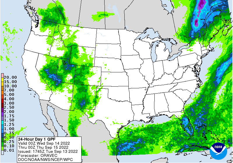
In the West, widespread cloudiness and scattered showers accompany somewhat cooler conditions. However, mostly dry weather persists across the Pacific Coast States and the northern Rockies, where nearly 100 large wildfires are leading to reductions in visibility and significant air-quality degradation.
Add Comment