Weather
Drier across the Midwest; rains on parts of the Plains
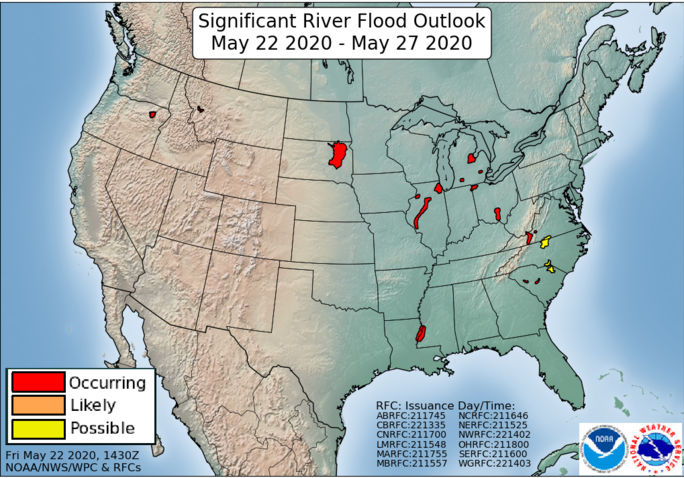
Across the Corn Belt, widespread cloudiness lingers. In addition, rain showers are occurring around the fringes of the Midwest, primarily in parts of Missouri and Ohio. Significant lowland flooding persists in several areas, most notably in Illinois (Illinois River basin), South Dakota (James River basin), and Michigan (Saginaw River basin), but also extending to several other watersheds in Ohio, Michigan, northern Indiana, and northern and central Illinois.
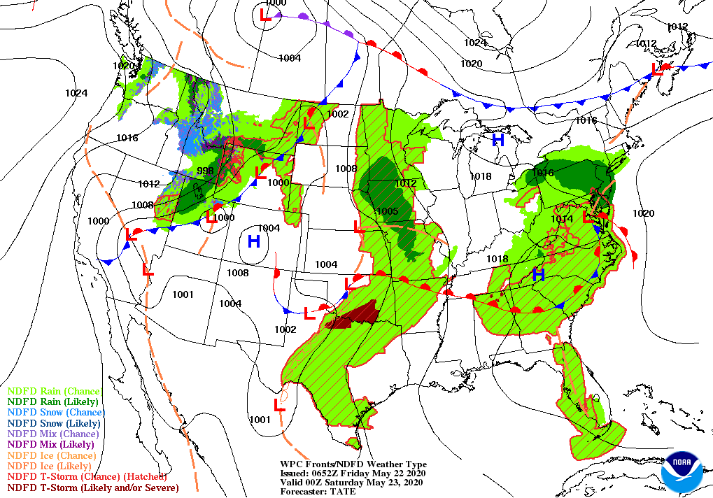
On the Plains, showers and thunderstorms remain active in the vicinity of a slow-moving cold front. Early Friday, some of the most significant thunderstorms are occurring in Kansas and Oklahoma. The Plains’ rain is generally benefiting rangeland, pastures, winter wheat, and summer crops, although a few producers are contending with thunderstorm-related wind damage and large hail.
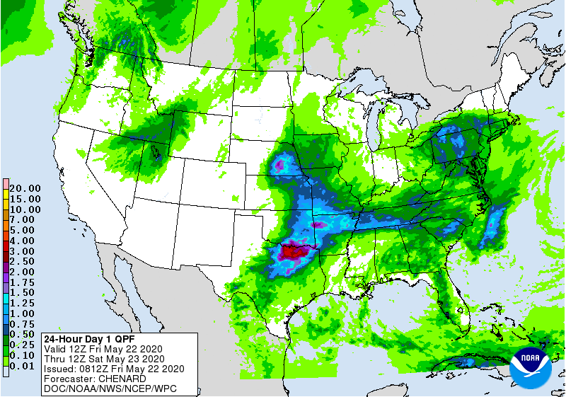
In the South, rain had subsided across flood-affected areas of southwestern Virginia and the Carolinas, although river levels remain elevated. Meanwhile, showers and thunderstorms are returning across the mid-South, following a few days of favorably dry weather.
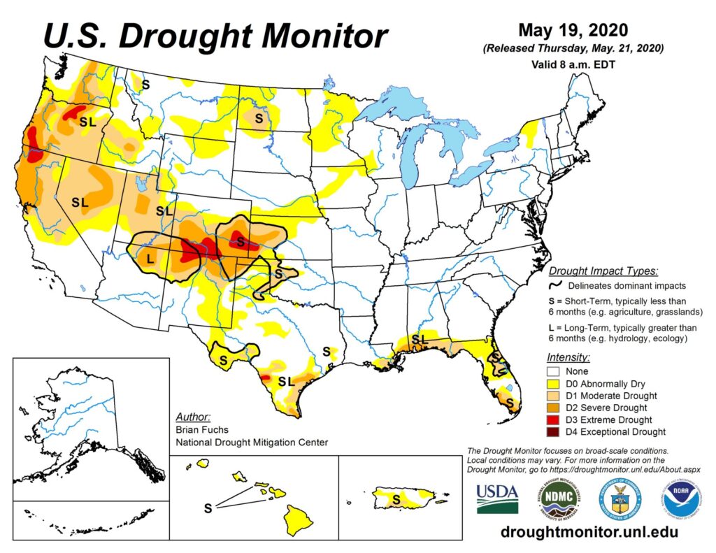
In the West, Freeze Warnings were in effect early Friday in a few areas, including parts of western Colorado. Meanwhile, rain and high-elevation snow showers linger in the Northwest. Elsewhere, dry weather favors late-spring fieldwork, although below-normal temperatures cover most of the region. In California, 88% of the rice and 85% of the cotton had been planted by May 17.
Add Comment