Weather
Cooler days, a few showers ahead for the Heartland
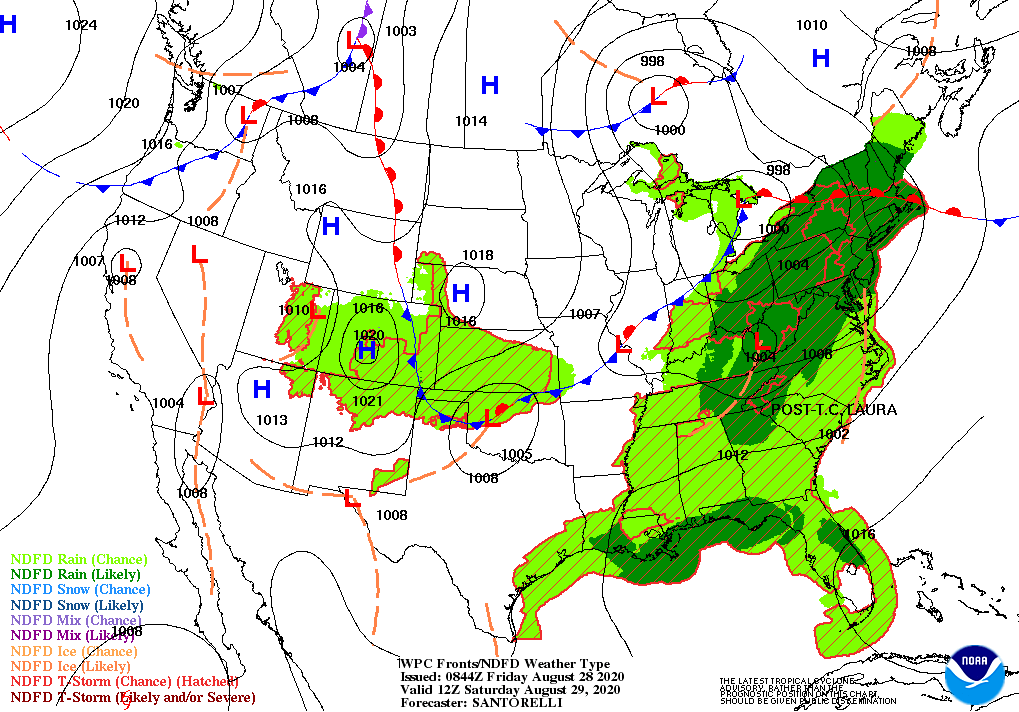
The remnants of Laura will turn eastward during Friday, crossing the Ohio Valley before reaching the Atlantic Coast on Saturday. Additional rainfall associated with Laura could reach 1 to 3 inches or more. Meanwhile, a cold front crossing the Midwest and Northeast will generate locally severe thunderstorms.
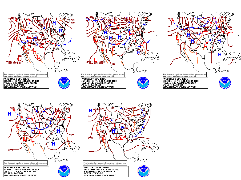
During the weekend and early next week, a second cold front will sweep across the Plains, Midwest, mid-South, and Northeast, generating additional rainfall.

Five-day rainfall totals could exceed 5 inches in parts of the mid-South, including the Ozark Plateau.
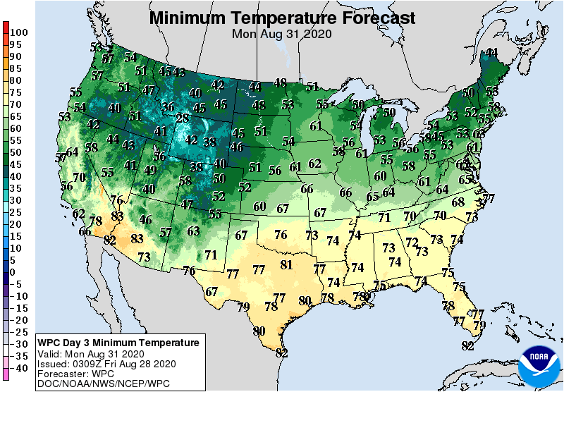
Cool air will trail the cold fronts, allowing temperatures to fall below 40° early next week across the northern and central Rockies and northern High Plains.
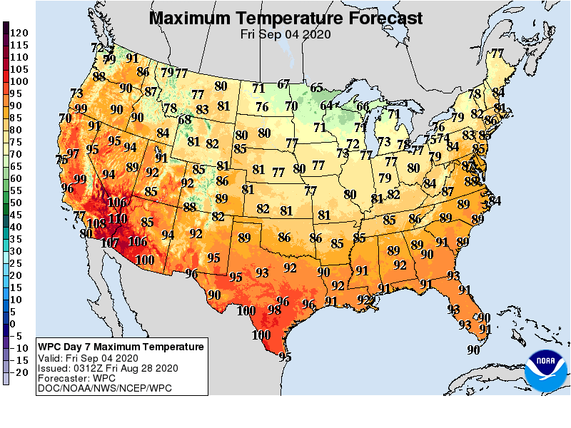
However, hot weather will persist in several areas, particularly across northern California and the Deep South. In early September, heat will expand and intensify across the Far West.
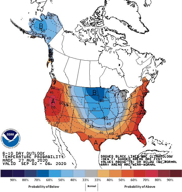
Looking ahead, the 6- to 10-day outlook calls for below-normal temperatures in most areas between the Rockies and Appalachians, while warmer-than-normal weather will prevail in the Far West, Deep South, and Atlantic Coast States.
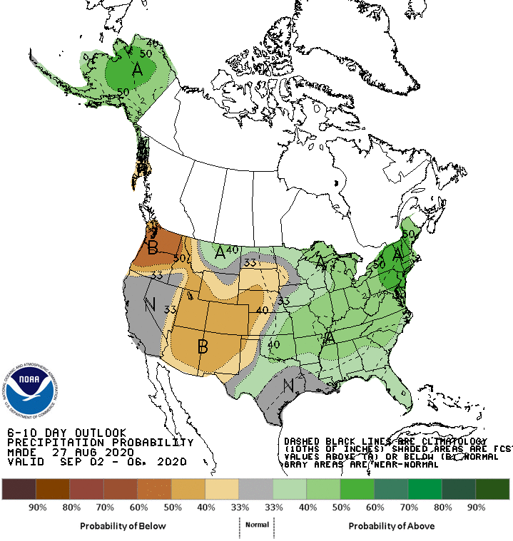
Meanwhile, near- or below-normal rainfall in most areas from the Pacific Coast to the High Plains should contrast with wetter-than-normal weather across much of the eastern half of the U.S.
Add Comment