Weather
Brownfield Ag Weather Today
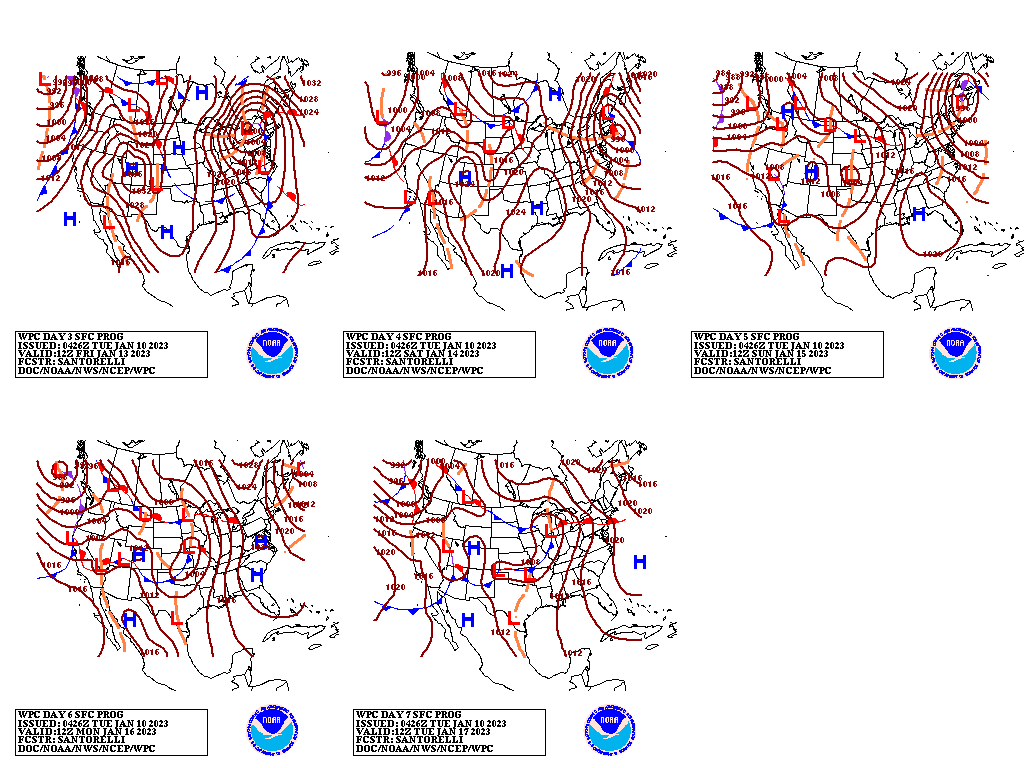
The water equivalency of the Sierra Nevada snowpack, which topped 20 inches over the weekend, will continue to rise at least through the middle of the week, as additional Pacific moisture moves ashore in California and neighboring states. During the mid- to late-week period, some of the Western storminess will regroup over the central and eastern U.S., leading to unsettled weather. In fact, 5-day precipitation totals could reach 1 to 2 inches in parts of the East, especially from the Ohio and Tennessee Valleys to New England. Significant snow may accumulate in northern New England. In contrast, mostly dry weather will prevail during the next 5 days across the nation’s mid-section, except for a possible quick shot of mid-week snow on the central Plains. Bitterly cold air will remain absent from the continental U.S. for the remainder of the week and beyond.
Add Comment