Weather
Beneficial rains over parts of the northwestern Corn Belt
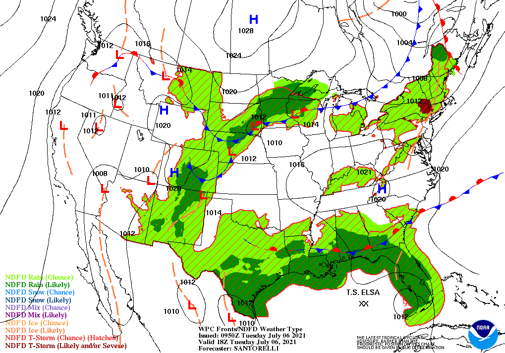
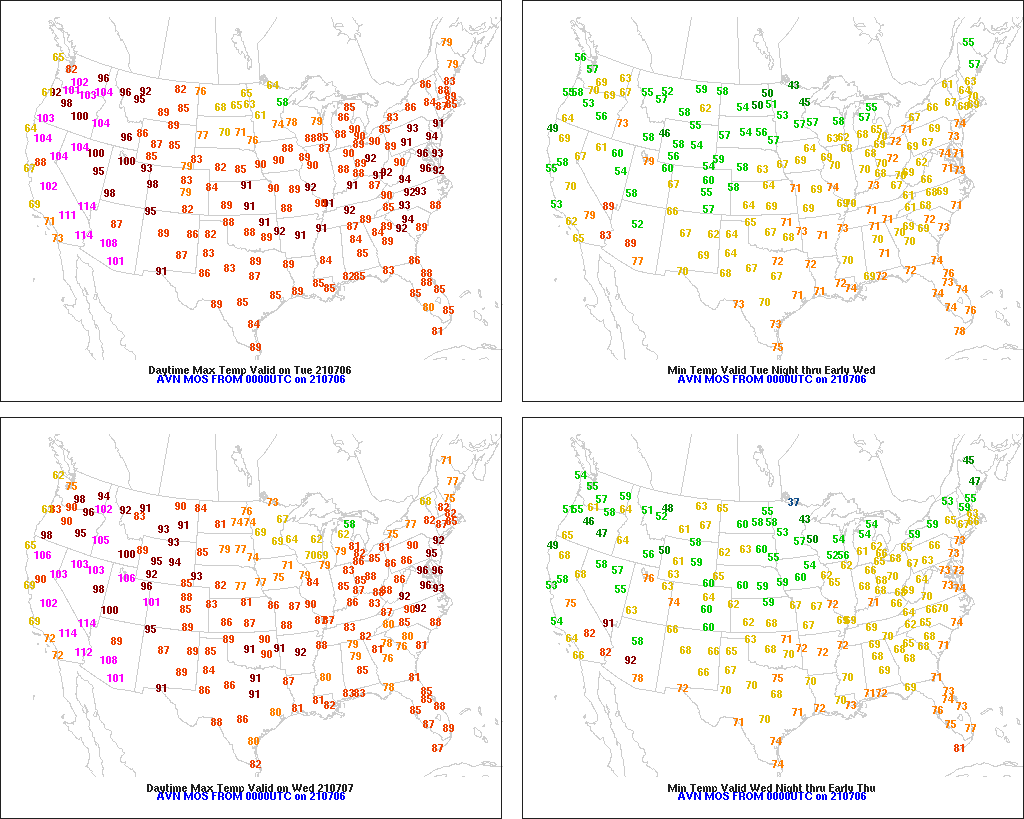
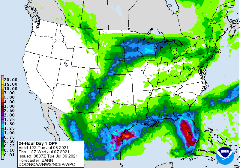
Across the Corn Belt, showers and thunderstorms crossing Minnesota and the Dakotas are providing beneficial moisture for drought-affected corn and soybeans. The remainder of the Midwest is experiencing very warm, dry weather, favoring a rapid pace of summer crop development.
On the Plains, cooler air is overspreading the Dakotas, accompanied by scattered showers and thunderstorms. However, drought is so deeply entrenched (and soils are so dry) in some areas that the rain is providing only limited relief. Meanwhile on the southern Plains, the return of mostly dry weather—following last week’s heavy rain—is allowing winter wheat harvesting and other fieldwork to resume.
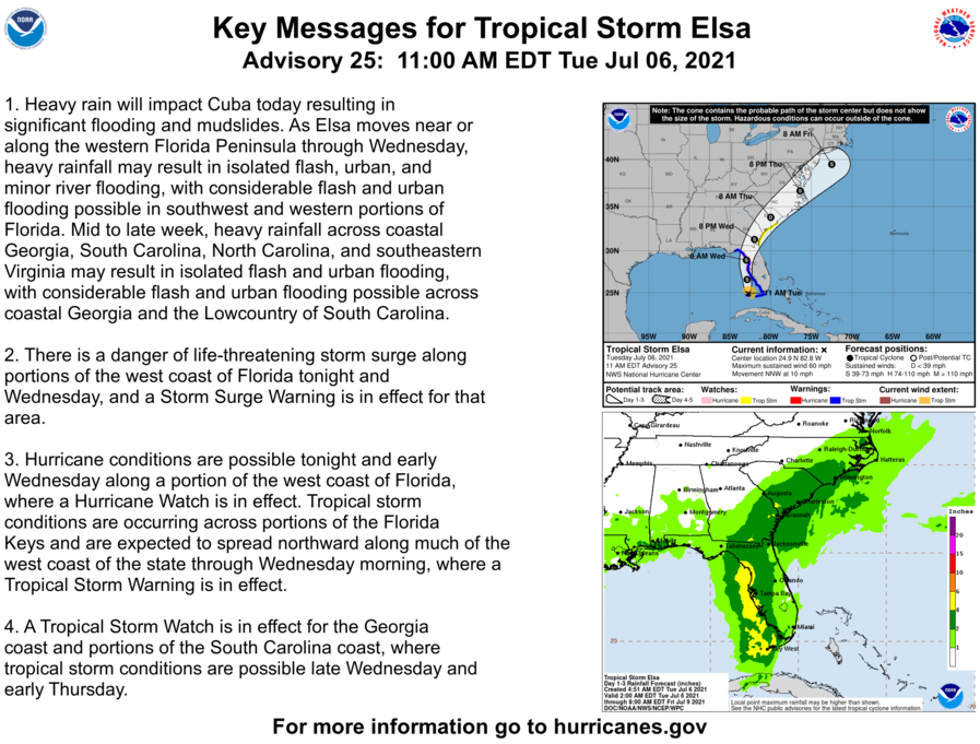
In the South, Tropical Storm Elsa is passing west of the Florida Keys, moving generally northward toward Florida’s Gulf Coast. Elsa lost some organization on Monday while crossing Cuba—but continues to produce heavy rain and gusty winds. Early Tuesday morning, Elsa was centered 55 miles west of Key West, Florida, with sustained winds near 60 mph. Hot, humid weather covers the remainder of the South, with thunderstorms stretching from southern Texas into the lower Southeast.
In the West, monsoon-related showers are mostly confined to the southern Rockies. Elsewhere, hot, dry weather is worsening an already dire drought situation. Later Tuesday, dry thunderstorms could lead to an enhanced risk of wildfire ignition across the interior Northwest, where high temperatures will approach or reach 100°F.
Add Comment