Weather
Another round of late-season storminess develops on the Plains, points westward

Across the Corn Belt, mostly dry weather accompanies a warming trend. However, cold conditions linger across the deeply snow-covered far upper Midwest, including the Red River Valley of the North, where Tuesday morning’s minimum temperatures fell to near 0°F.
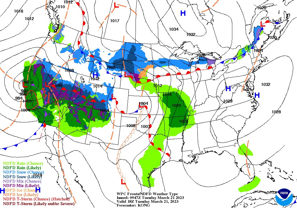
On the Plains, patchy, light precipitation is falling in several areas. This includes rain across the southeastern Plains and snow showers on the northern Plains. However, unfavorably dry conditions persist across the southern half of the High Plains. In Texas, where statewide topsoil moisture was rated 69% very short to short on March 19, more than half of the oats (52%) and rangeland and pastures (61%) were rated in very poor to poor condition.
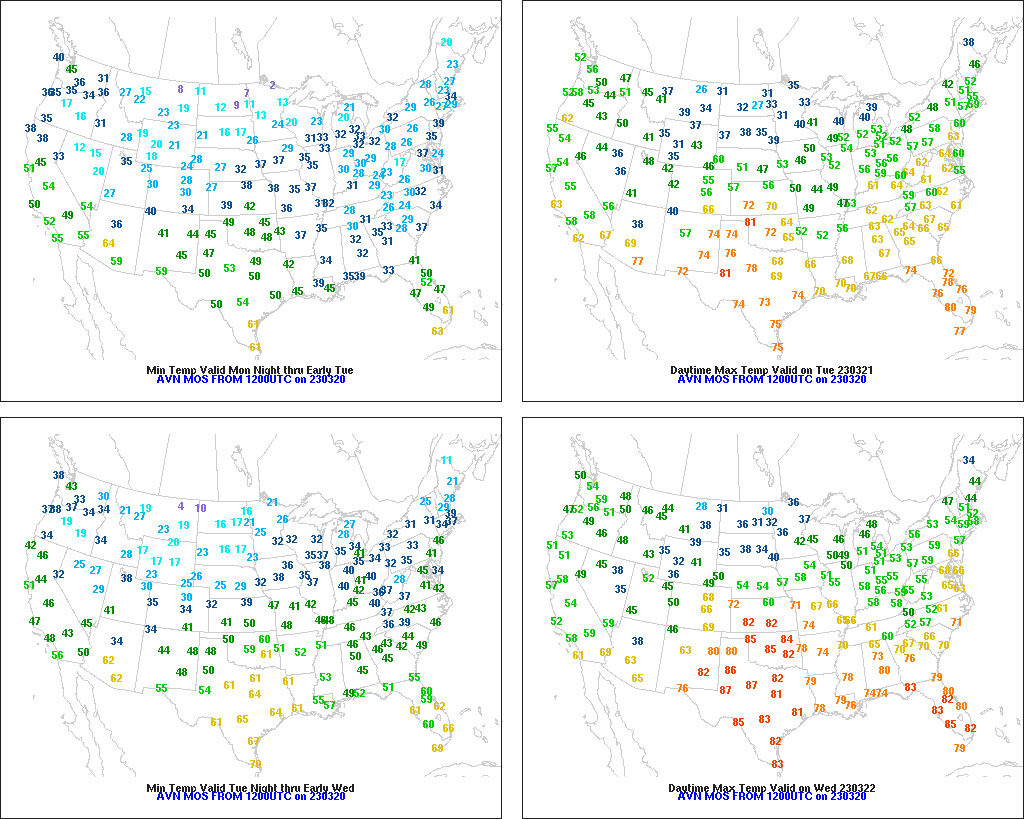
In the South, a final day of cold weather has led to another round of Freeze Warnings east of the Mississippi River, extending as far south as southern Alabama and central Georgia. Producers continue to monitor peaches and other blooming fruits for signs of freeze injury, following unusual warmth during much of February and early March.
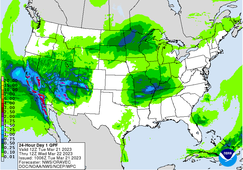
In the West, another powerful storm system is approaching the Pacific Coast, with significant weather impacts—including heavy rain, high-elevation snow, and gusty winds—unfolding across central and southern California. Precipitation is also overspreading the Southwest, including much of Arizona, while cool, mostly dry weather prevails in the Northwest.
Add Comment