Weather
An active, Winter-like pattern across the Heartland
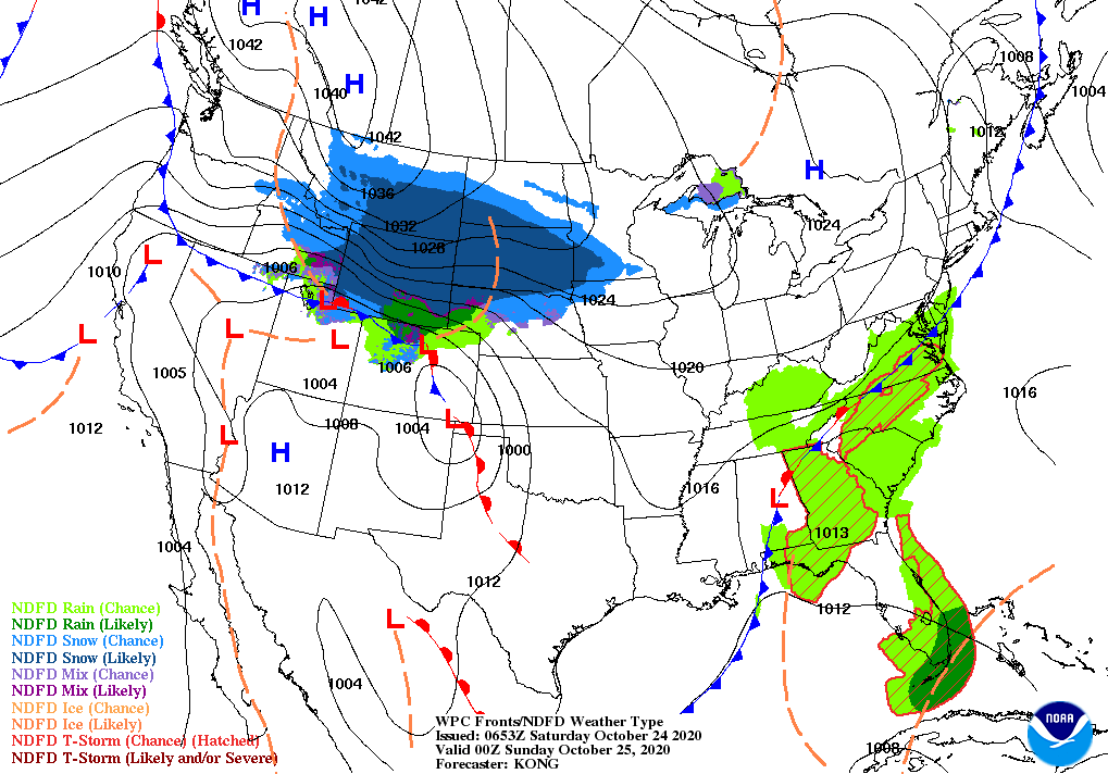
Across the Corn Belt, snow is gradually ending across the upper Midwest in the wake of Thursday’s storm. In South Dakota, October 22 snowfall totals included 7.2 inches in Aberdeen and 4.7 inches in Sisseton. Meanwhile, a strong cold front stretching from Michigan to Missouri is sparking showers and thunderstorms. In advance of the front, warm weather prevails in the Ohio Valley and lower Great Lakes region. Midwestern fieldwork—including corn and soybean harvesting—which had been advancing briskly until mid-October, has been slowed or halted in recent days.
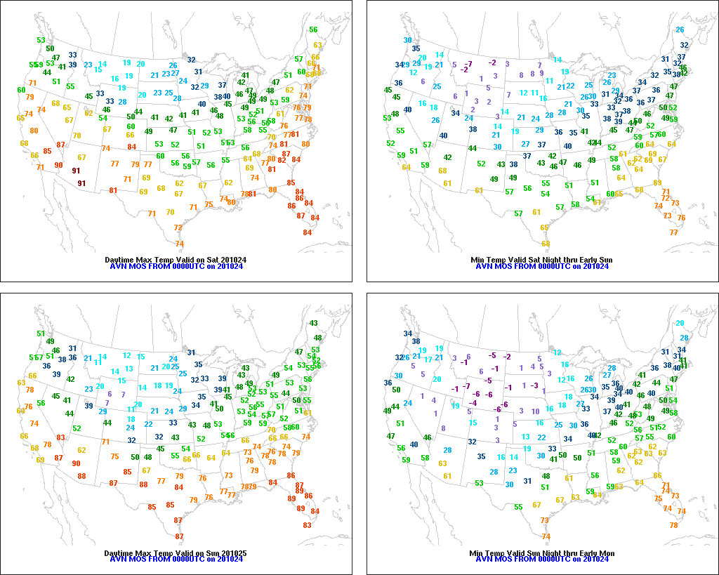
On the Plains, cold air is surging southward in the wake of a cold front’s passage. Freezes, accompanied by gusty winds, occurred Friday morning as far south as eastern Colorado and western Kansas, while temperatures fell below 0° in parts of Montana. An impressive, early-season snow cover blankets Montana and the Dakotas, halting fieldwork but benefiting winter wheat. Meanwhile, thunderstorms linger in the vicinity of the front, which is crossing the southeastern Plains.
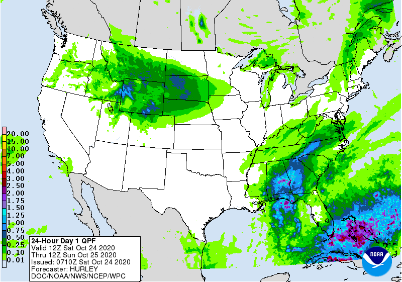
In the South, warm, dry weather continues to promote previously delayed fieldwork activities, such as cotton and peanut harvesting. Widely scattered showers are largely limited to areas along the Atlantic and Gulf Coasts.
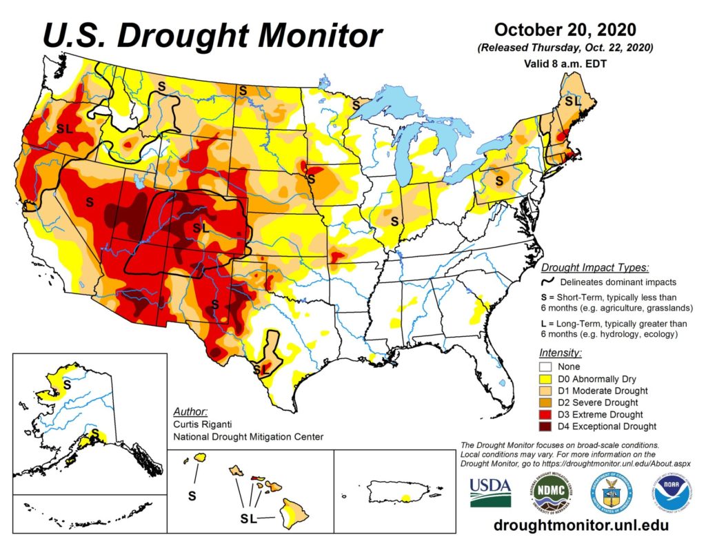
In the West, lingering warmth is confined to parts of California and the Southwest. Freeze Warnings were in effect early Friday in parts of the Great Basin and interior Northwest. Meanwhile in Colorado, several dangerous wildfires remain active, despite the arrival of cooler weather. The second-largest wildfire in Colorado’s modern history—the 170,000-acre East Troublesome Fire—flared dramatically near Granby on October 21-22, resulting in evacuations and property losses.
Add Comment