Weather
Active, moisture-laden pattern ahead for the Midwest
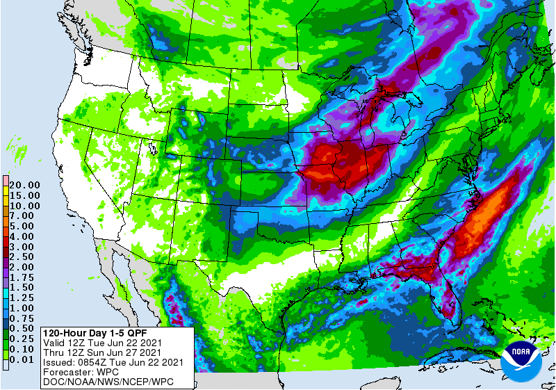
Rain in the middle and northern Atlantic Coast States will end later Tuesday. Farther south, showers and thunderstorms will linger for several days along the Gulf Coast and in the southern Atlantic region, with additional rainfall totaling 1 to 3 inches or more.
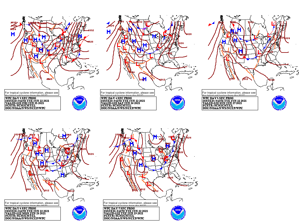
During the second half of the week, a slow-moving, moisture-laden cold front will deliver heavy showers across portions of the central and southern Plains, mid-South, and Midwest, with some areas—especially in the middle Mississippi Valley—receiving 2 to 4 inches or more. In contrast, mostly dry weather will persist across the northern Plains, as well as much of the western U.S.
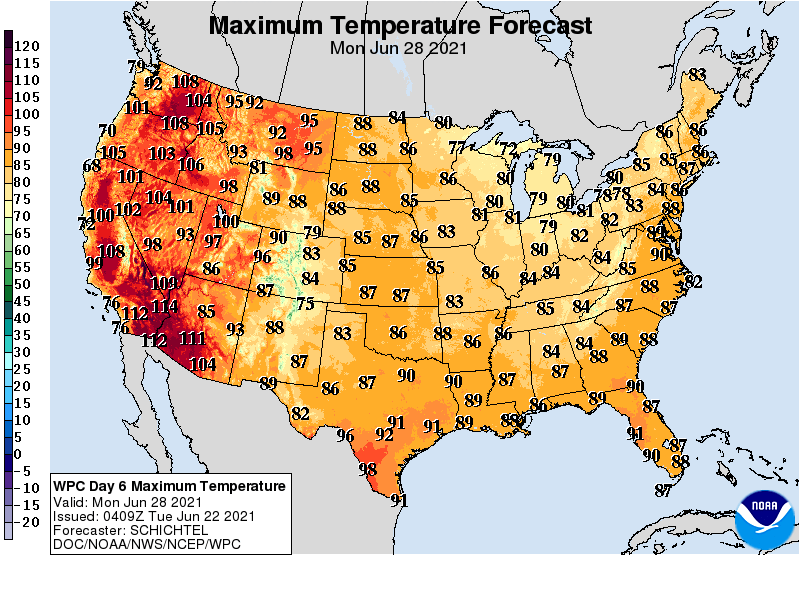
Building Northwestern heat will worsen an already serious agricultural drought. Elsewhere, cooler-than-normal weather will cover much of the eastern half of the U.S.
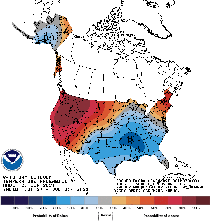
Looking ahead, the 6- to 10-day outlook calls for the likelihood of above-normal temperatures across the northern Plains, Northeast, and West, while cooler-than-normal conditions will cover much of the Mississippi and Ohio Valleys, the southern half of the Plains, and the Southeast.
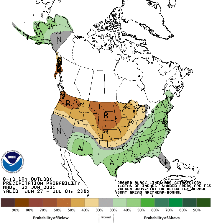
Meanwhile, below-normal rainfall from the Pacific Northwest to the northern and central Plains and upper Midwest should contrast with wetter-than-normal weather in most of the southern and eastern U.S.
Add Comment