Weather
A Winter-like pattern dominates much of the Heartland

Across the Corn Belt, cold, breezy weather and snow showers are limiting late-season fieldwork, although the overall pace of corn and soybean harvesting remains mostly ahead of schedule. Earlier this week, a Midwestern storm produced generally light snow, much of which remains on the ground. Deep snow is confined to parts of the far upper Midwest, including North Dakota, and localized areas downwind of the Great Lakes.
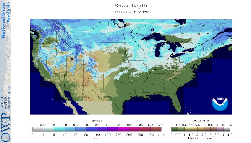
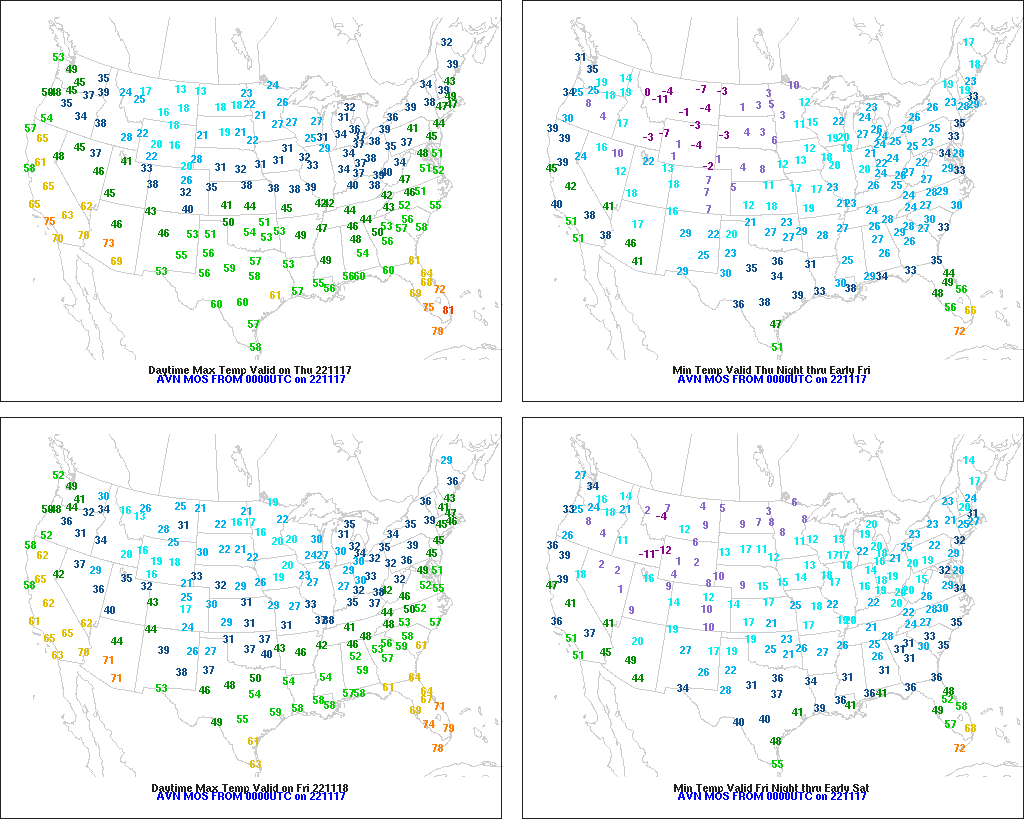
On the Plains, cold, windy weather dominates the northern half of the region, where Thursday’s high temperatures will range from 10 to 30°F. Snow showers accompany the latest surge of cold air, which has increased livestock stress in areas— mainly in Montana and North Dakota—where substantial snow remains on the ground. Meanwhile, cool, dry weather covers the southern Plains. The region’s vegetation continues to reflect the effects of drought; on November 13 in Oklahoma, 82% of the rangeland and pastures were rated in very poor to poor condition.
In the South, cool but dry weather is promoting late-season fieldwork, including winter wheat planting and harvest activities for a variety of crops. In Louisiana, the sugarcane harvest was 45% complete by November 13, slightly behind the 5-year average of 47%.
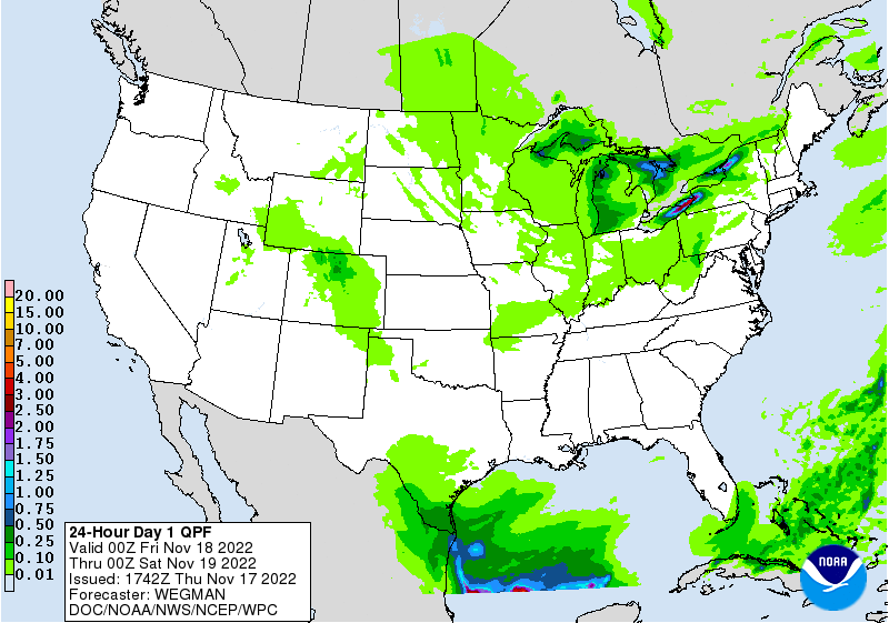
In the West, light snow is developing across the eastern slopes of the northern Rockies. Meanwhile, air stagnation in parts of the Northwest is leading to locally dense fog and poor air quality. In California, dry weather favors late-autumn fieldwork, including cotton harvesting, which was 80% complete, statewide, by November 13.
Add Comment