Weather
A wind-blown, milder to “warmer” period of weather underway across the Heartland
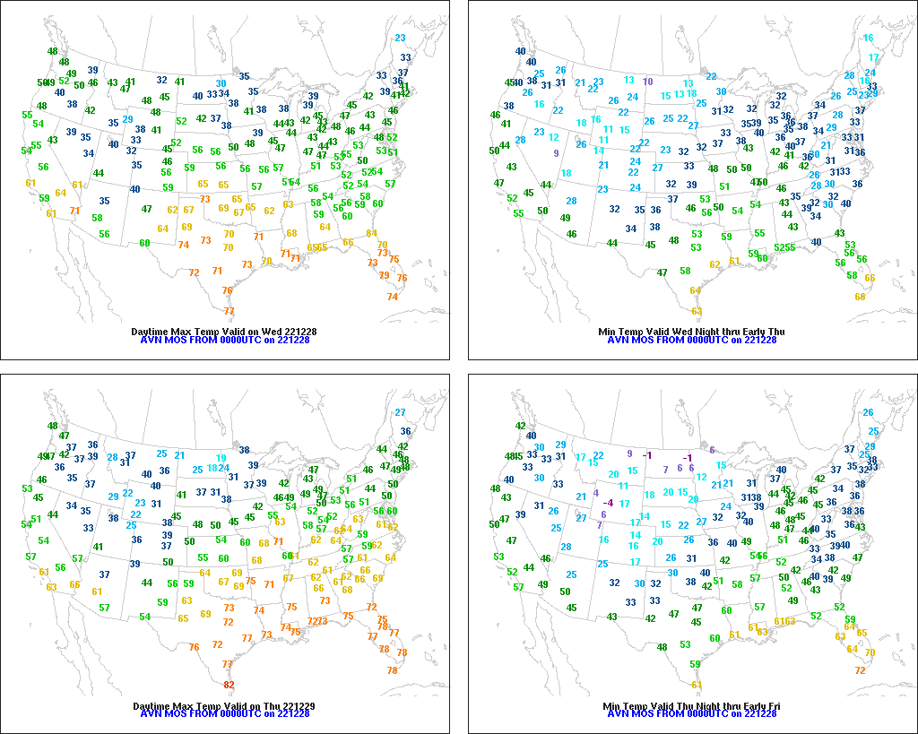
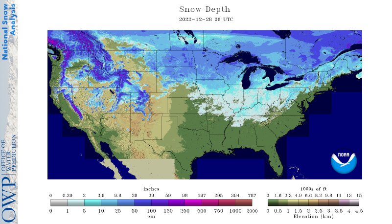
Across the Corn Belt, temperatures have rebounded to near- or above-normal levels, with Wednesday’s high temperatures expected to range from near the freezing mark (32°F) in the Red River Valley of the North to 50°F or higher in the lower Ohio Valley. Despite the warming trend, an extensive snow cover—with depths locally a foot or greater—remains on the ground in the upper Midwest and portions of the Great Lakes region.
On the Plains, mild, mostly dry weather prevails, despite increasing cloudiness. Warmth across the northern Plains is eroding winter wheat’s protective snow cover, which was instrumental in insulating the crop from the recent cold wave. Across the southern half of the Plains, the wheat crop remains poorly established and exposed to any future winter weather extremes.
In the South, lingering freezes were reported Wednesday morning as far south as northeastern Florida. Elsewhere, dry weather accompanies a slow warming trend. Agricultural assessments continue in areas affected by recent freezes, with only southern Florida escaping without sub-32°F temperatures. According to USDA/NASS, central Florida’s citrus growers are “assessing any damage due to the cold weather.”
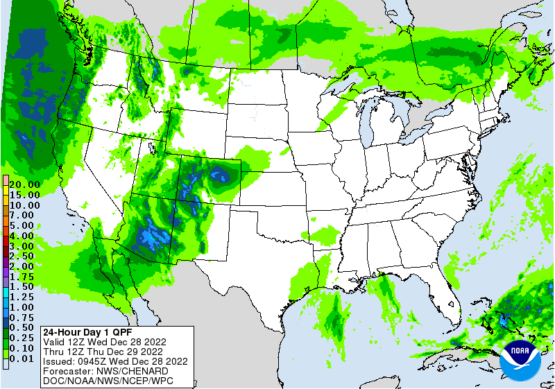
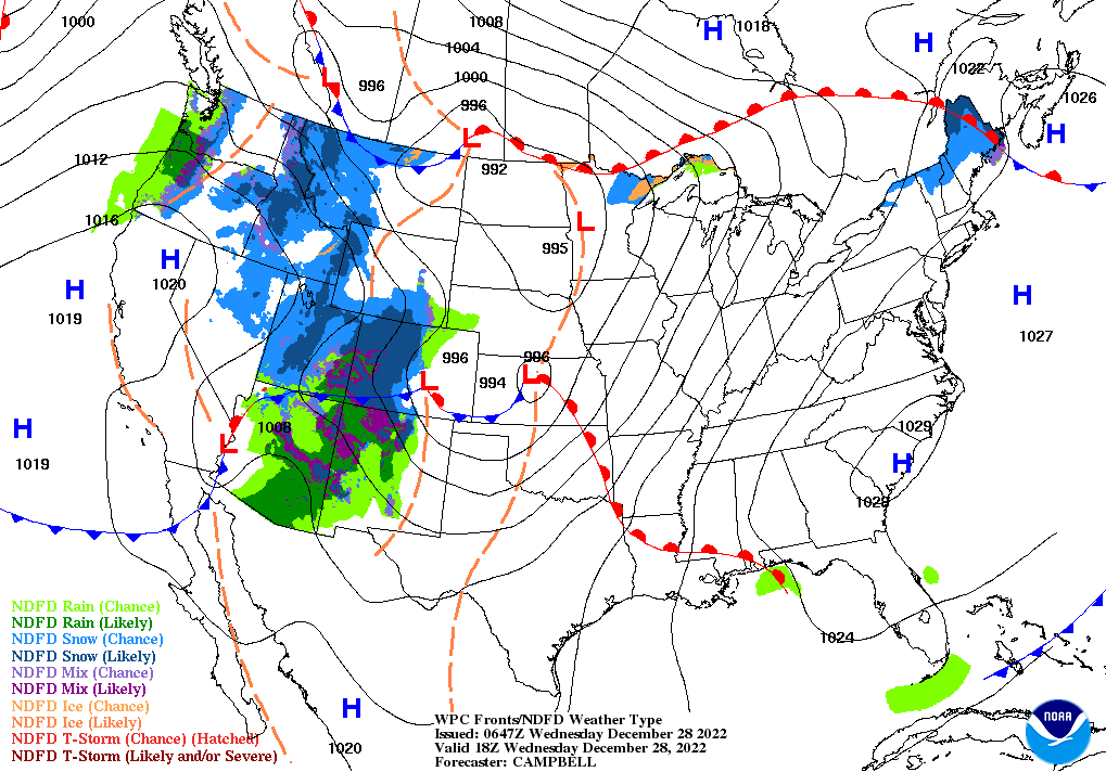
In the West, mostly dry weather has temporarily returned across California, but rain and snow showers continue in other areas. Early Wednesday, some of the most significant precipitation is falling in the Desert Southwest. Near- or above-normal temperatures are keeping freezing levels relatively high, leading to locally elevated river levels in the Northwest due to melting snow and run-off from recent and ongoing rain showers.
Add Comment