Weather
A more typical, active mid-winter pattern across the Heartland
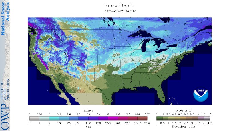
Across the Corn Belt, a variable snow cover remains in place. The greatest depths exist across the upper Midwest, where in some places snow has been on the ground since late November. Early Friday, snow showers associated with a fast-moving cold front are crossing the upper Mississippi Valley and spreading into the Great Lakes region. The snow showers and gusty winds are resulting in mostly minor travel disruptions.
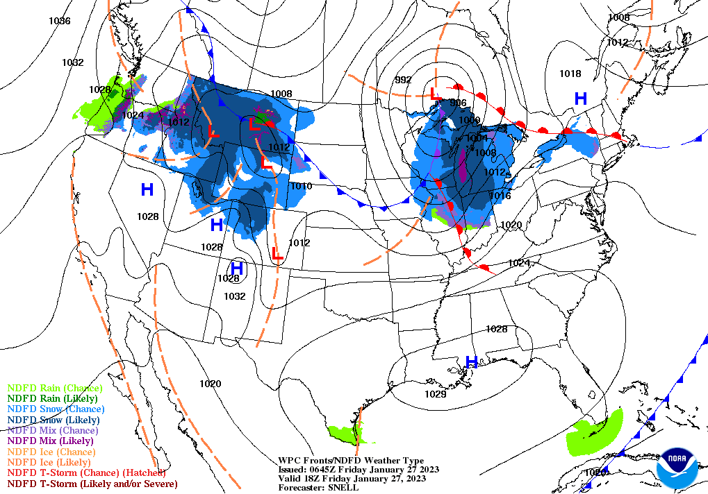
On the Plains, high winds are raking parts of the Dakotas in the wake of a cold front’s passage. On January 26, wind gusts topped 60 mph in North Dakota locations such as Williston, Minot, and Garrison. Early Friday breezy conditions cover much of the remainder of the Plains, while rain and snow showers are developing in parts of Montana. The precipitation in Montana is associated with a new disturbance, closely trailing the recently departed cold front.
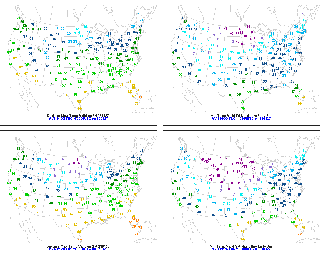
In the South, cool, dry weather prevails. Any remaining snow on the ground is mostly confined to the southern Appalachians and the Ozark Plateau. Early Friday, frost and freezes were reported as far south as the central Gulf Coast region and northern Florida.
In the West, generally light rain and snow showers stretch from the Pacific Northwest to the northern Rockies. Meanwhile, dry weather prevails in California, the Great Basin, and the Southwest. According to the California Department of Water Resources, the average water equivalency of the Sierra Nevada snowpack remains near 33 inches, nearly 130 percent of the typical seasonal peak value.
Add Comment