Weather
A milder, but more active pattern ahead
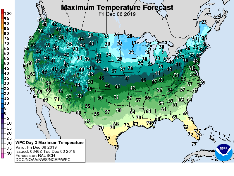
Much of the country will experience a return or continuation of near- or above-normal temperatures during the next several days, although a late-week surge of cold air will briefly affect the Midwest and Northeast.
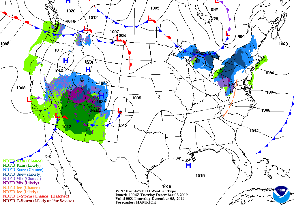
Meanwhile, a slow-moving storm system lurking near the California coast will move inland by mid-week and subsequently cross the Southwest.
Late in the week, rain associated with that storm will spread across the Southeast. Farther north, a late-week cold front will cross the Great Lakes and Northeastern States, sparking snow showers.
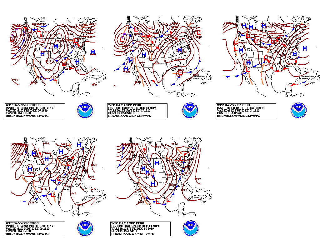
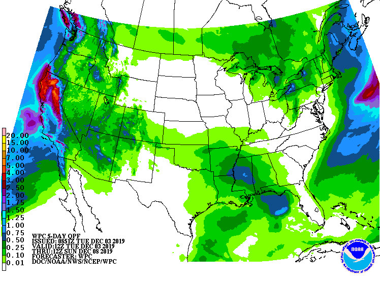
Toward week’s end, a new Pacific storm system will approach the West Coast, bearing rain, snow, and gusty winds.
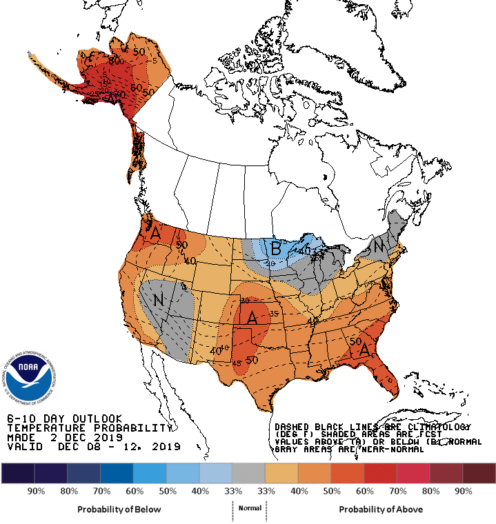
Looking ahead, the 6- to 10-day outlook calls for the likelihood of near- or above-normal temperatures and precipitation across most of the country.
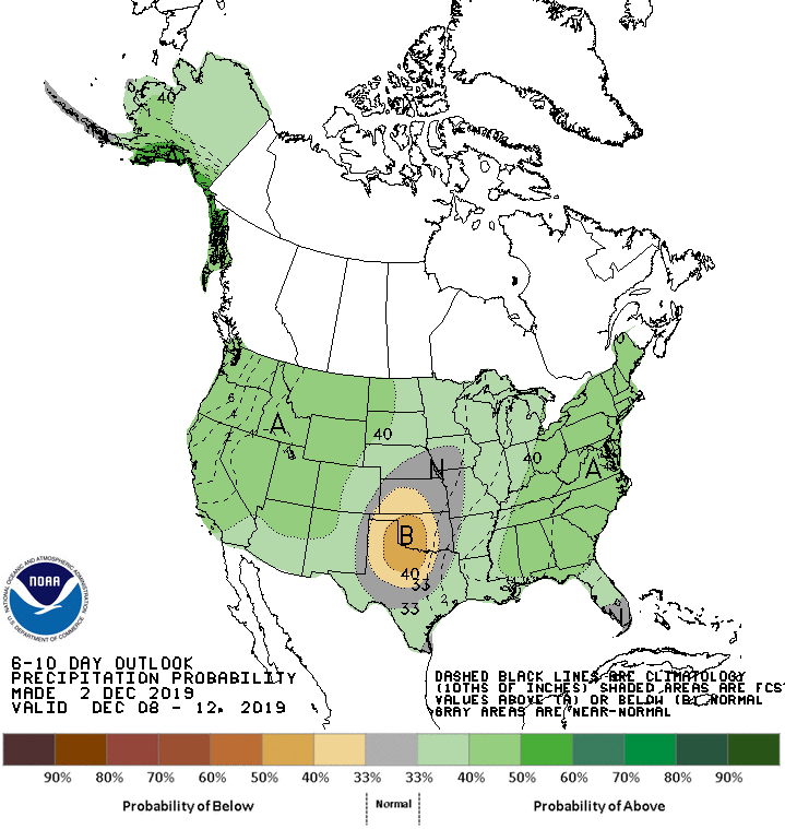
Colder-than-normal conditions will be limited to the upper Great Lakes region, while drier-than-normal weather should be confined to portions of the central and southern Plains.
Add Comment