Weather
A mild mid-Winter pattern for much of the Heartland
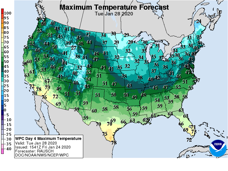
With cold air temporarily cut off from reaching the continental U.S., near- or above-normal temperatures can be expected during the next several days. The warmest weather, relative to normal, will be observed in the Great Lakes States.
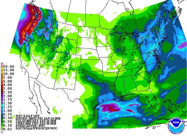
Mostly dry weather will accompany the mid-winter warmth in several regions, including the northern Plains and an area stretching from southern California to western Texas. In contrast, unsettled, showery weather will persist across the northern half of the western U.S.
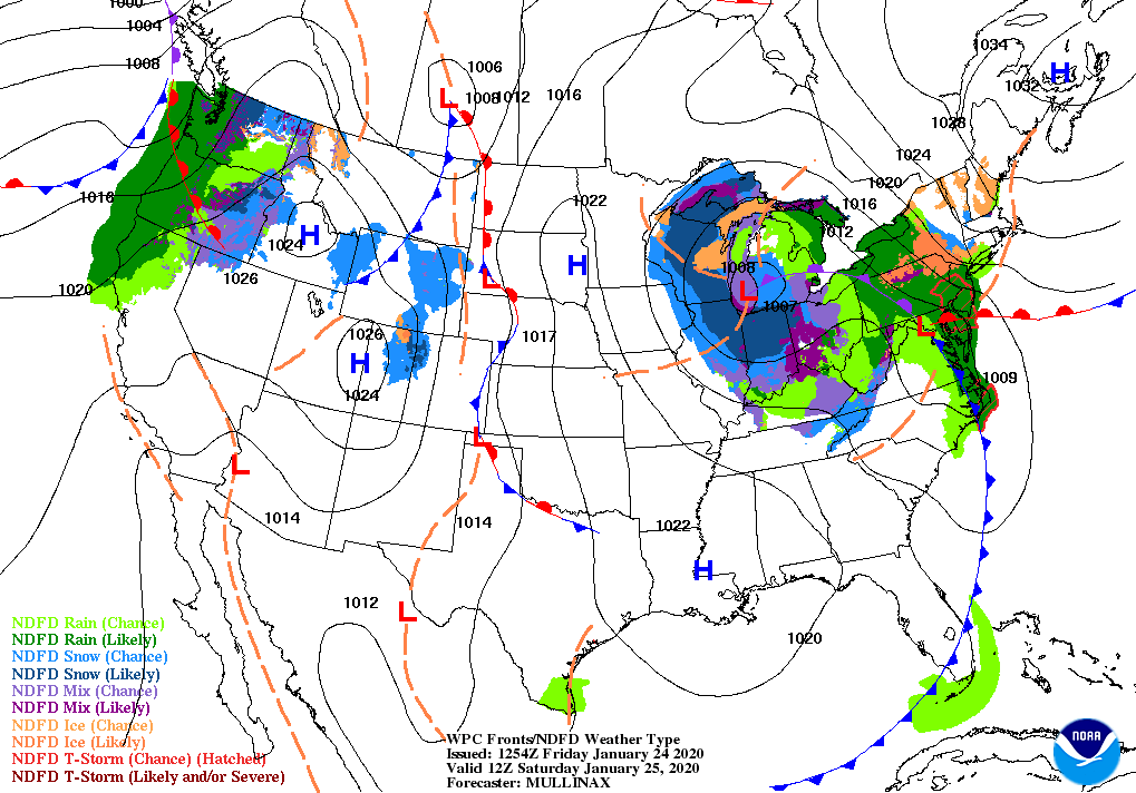
Farther east, a storm system will cross the Midwest before reaching New England on Sunday. A mix of rain and wintry precipitation will accompany the slow-moving storm.
During the weekend and early next week, a few rain showers will affect the South, although most areas will receive less than an inch.
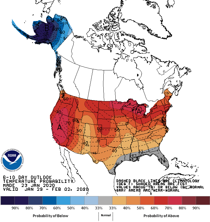
Looking ahead, the 6- to 10-day outlook calls for warmer-than-normal weather nationwide, except for near-normal temperatures along and near the Gulf Coast.
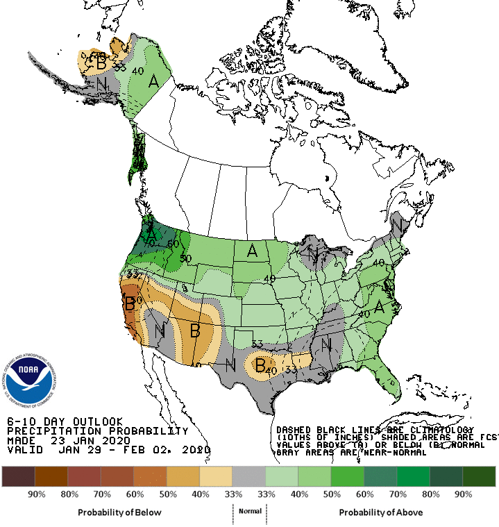
Meanwhile, wetter-than-normal conditions across most of the country should contrast with pockets of below-normal precipitation from California to Texas.
Add Comment