Weather
A mid-winterlike look and feel across the Heartland

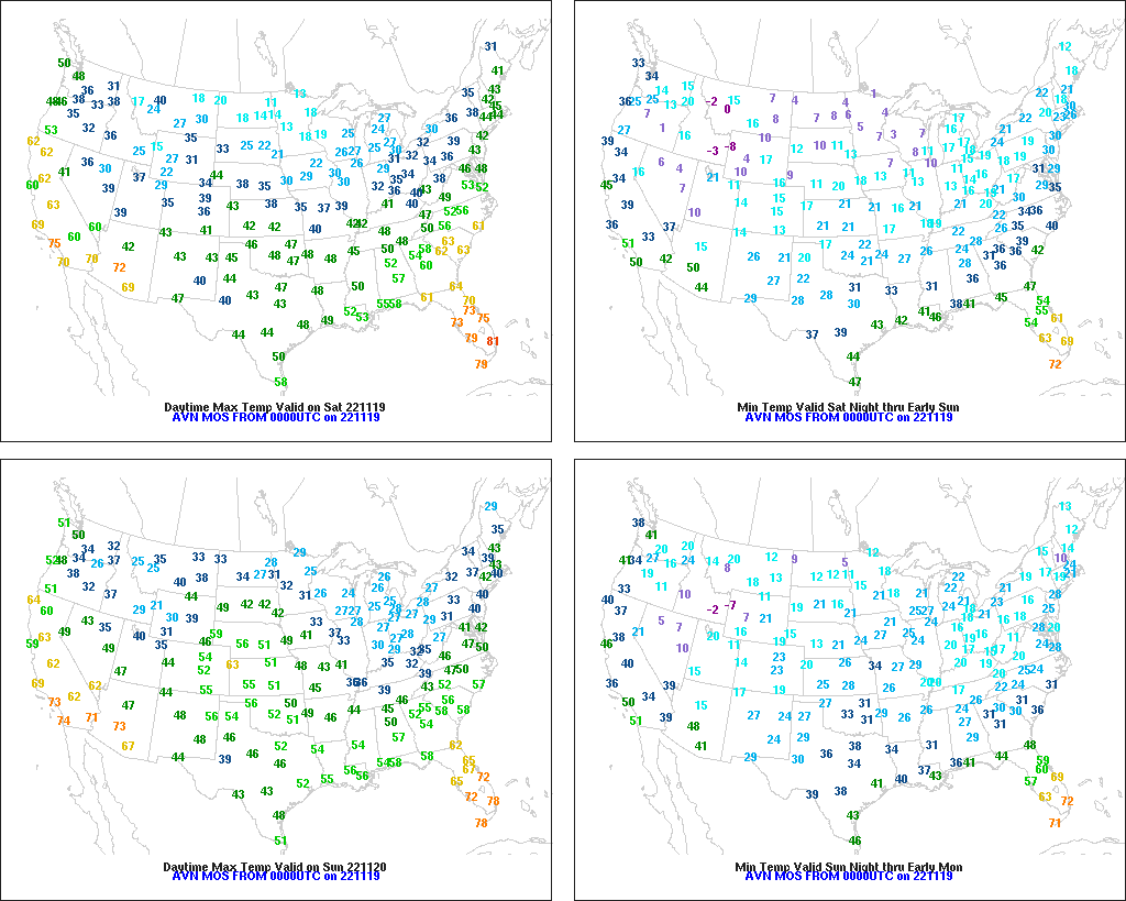
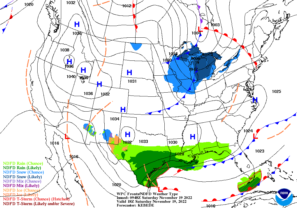
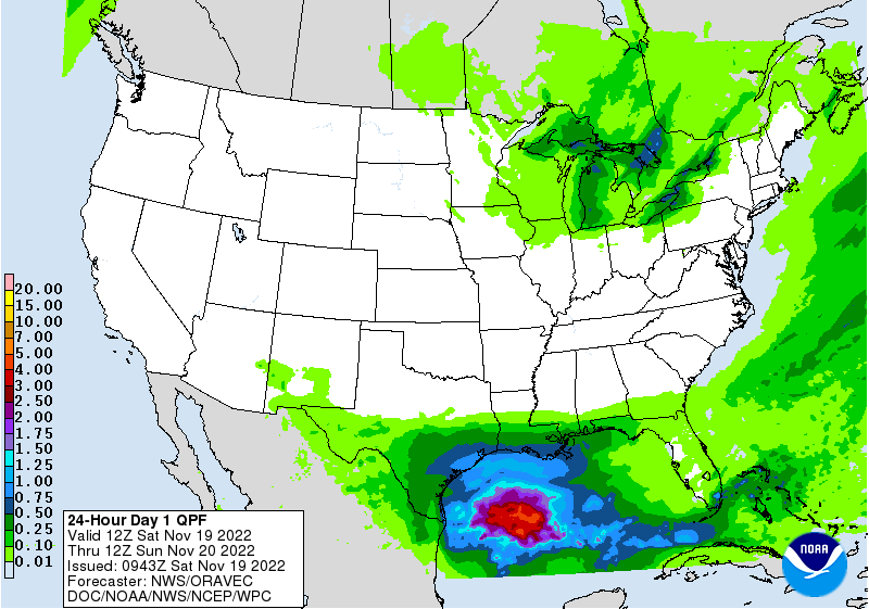
Across the Corn Belt, cold, breezy weather and snow showers continue to hamper late-season corn and soybean harvest efforts. Cold weather is also halting any further development of winter wheat, which in some areas is poorly established. Friday’s high temperatures will range from 20°F or below in the upper Midwest to near 35°F in the Ohio Valley. Early Friday, the heaviest snow is falling downwind of the Great Lakes, including western Michigan and environs.

On the Plains, cold weather has halted further development of drought-stressed winter wheat. Friday’s high temperatures will remain below 32°F throughout the region, except in parts of Oklahoma and Texas. Patchy snow is falling early Friday in a few areas, mainly across eastern Colorado. Farther north, a substantial snow cover in Montana and North Dakota is insulating winter grains, although windy conditions are resulting in blowing snow and low wind-chill temperatures.

In the South, Freeze Warnings were in effect early Friday as far south as the Gulf Coast, stretching from southeastern Texas to western Florida. The first hard freeze (28°F or below) of the season was reported this morning in Mississippi locations such as Hattiesburg and Meridian. Cold weather aside, mostly dry conditions favor late-autumn fieldwork, including winter wheat planting and cotton, soybean, and sugarcane harvesting.

In the West, cold, dry weather prevails. Concerns in parts of the Northwest include fog, air stagnation, and poor air quality. Farther south, breezy to windy conditions have developed in portions of California and the Desert Southwest.

Add Comment