Weather
A brief lull in an otherwise active weather pattern across the Heartland
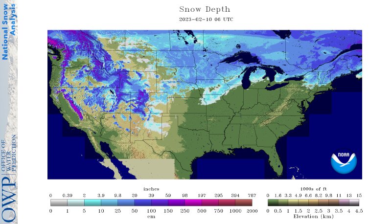
Across the Corn Belt, dry weather prevails between storms. Chilly conditions are confined to the upper Midwest, where snow remains on the ground, while mild weather lingers in the eastern Corn Belt. Due to recent rainfall, muddy field conditions exist in parts of the southern and eastern Corn Belt. On February 9, daily-record precipitation totals topped an inch in locations such as Quincy, Illinois (1.12 inches), and Grand Rapids, Michigan (1.10 inches).
On the Plains, cool, breezy weather covers the southern half of the region, accompanied by an increase in cloudiness. Meanwhile on the northern High Plains, mild, breezy weather is further eroding winter wheat’s protective snow cover. Near the end of January, USDA/NASS reported topsoil moisture rated at least one-half very short to short in Montana and from Nebraska southward to Texas, despite periods of beneficial precipitation in recent weeks.
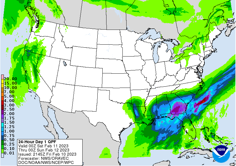
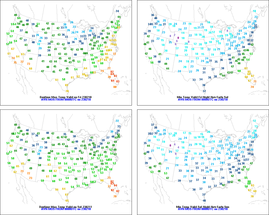
In the South, above-normal temperatures prevail from the Mississippi Delta eastward, while cool, breezy weather has developed in the western Gulf Coast region. Meanwhile, spotty showers from a departing storm system linger in the lower Southeast, while a new round of rain is just starting to develop across the mid-South. Runoff from recent rainfall has sparked minor to locally moderate lowland flooding in the lower Mississippi Valley and environs.
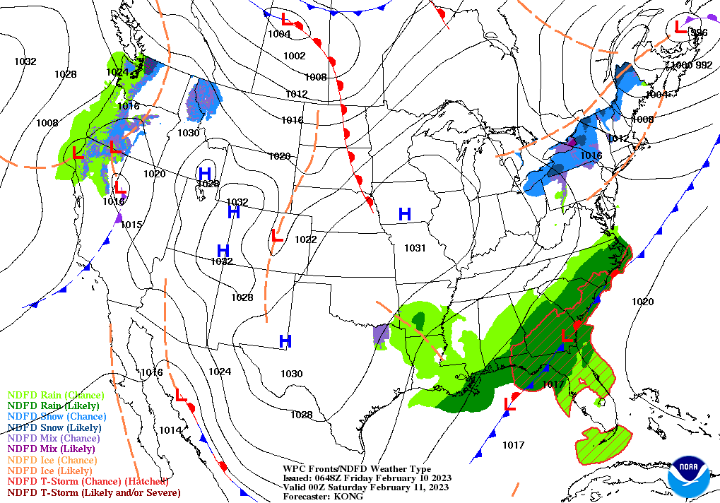
In the West, cool, dry weather prevails at most interior locations. In fact, sub-0°F temperatures were broadly noted Friday morning in the Rockies and Intermountain West. In the Pacific Coast States, however, mild weather has returned in advance of an approaching storm system. Additionally, rain and snow showers are developing in the Pacific Northwest.
Add Comment